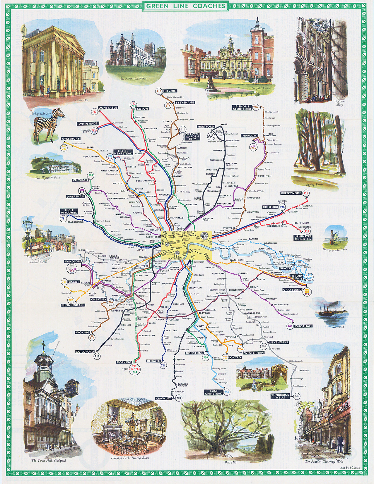

1963 An original Vintage folding Pictorial Map for GREEN LINE COACHES showing the Coach routes from London to the home counties.
Many inset vignette views LUTON HOO - HATFIELD HOUSE - WINDSOR CASTLE - THE TOWN HALL GUILDFORD - BOX HILL etc. Designed by Benjamin Getzel Lewis.
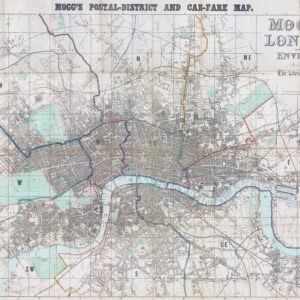
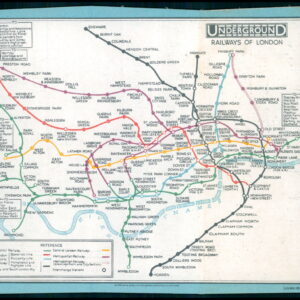
Bejamin Getzel Lewis (1900-1966) designed transport network maps for the London Underground and London Transport between 1931 and the late 1960's. His maps were published as folding passenger maps or as station posters. His output included bus maps, coach and Green Line maps, British Rail and London Underground maps, tramways and trolleybus maps, and "all systems" maps. Unlike the revolutionary and iconic "circuit diagram" maps of the London Underground pioneered by Harry Beck, Lewis's maps were geographically accurate; this conventionality of his work has perhaps led to his reknown having been rather overshadowed by the greater fame of Harry Beck, the inventor of the topological underground system map, and even by other designers of the London tube map who refined and revised (or preceded) Beck's design.
Overall size approx 44cm x 56cm. Condition is excellent. Please note that this map is folded into a pocket size
£30.00