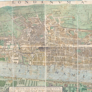
1948 "LONDON RAILWAYS TRANSPORT DIAGRAM OF LINES No 1 1948". A fine example of this rare Harry Beck designed folding pocket London Underground Map. Overall size approx 15cm x 22cm.
The map shows the Central line under construction from Greenford to West Ruislip (it opened in November 1948); the two branches of the Northern Line proposed to be joined between Mill Hill and Edgware, with an extension to Bushey Heath apparently under construction (never opened as a tube line); the Metropolitan line extending as far as Aylesbury (the line beyond Amersham was transferred to British Rail in 1961); the District Line spur to South Acton (closed 1959); the Northern Line City section from Old Street to Finsbury Park via Essex Road (closed 1975); the proposed Northern Line extension to Stroud Green, Crouch End, Muswell Hill and Alexandra Palace (not built); the Central Line extension to Ongar and completion of the loop under construction (the continuation to Ongar was closed in 1994); the proposed Central Line extension to Ongar (built with a discontinuity at Epping - from which point onwards the line was closed in 1994); The Piccadilly Line spur to Aldwych (closed 1994); The line between Baker Street and Stanmore is shown as a branch of the Bakerloo line, as it was until it became part of the Jubilee line upon its opening in 1979
£110.00