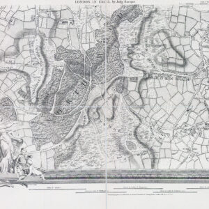
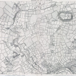
1930s "PLAN OF LONDON & SUBURBS".
A fine and highly detailed very large original Vintage folding map of London stretching, in the north, from HARROW across to EPPING & in the south from RICHMOND across to HITHER GREEN. Inset local maps of WOOLWICH DISTRICT & CROYDON DISTRICT.
Overall size 102cm x 80cm. LINEN BACKED.
£140.00