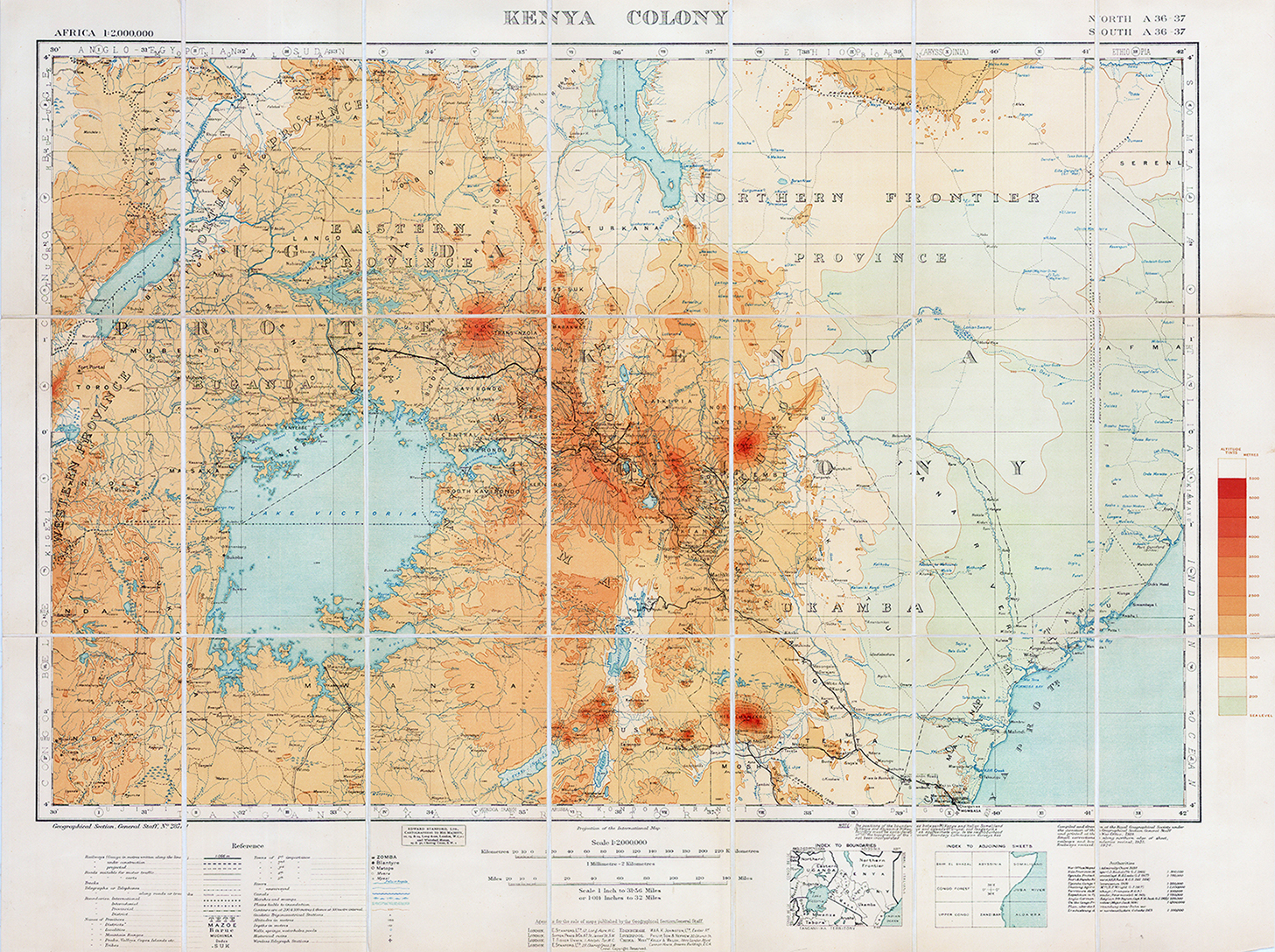
1926 "KENYA COLONY"
A fine large original folding map dissected into 21 sections and laid to linen. Published by Edward Standford & printed for the War Office showing the KENYA COLONY. Table of References to the ROADS, RAILWAYS, BOUNDARIES, DISTRICTS, CANALS etc.
Overall size approx 58 x 77cm.
£200.00