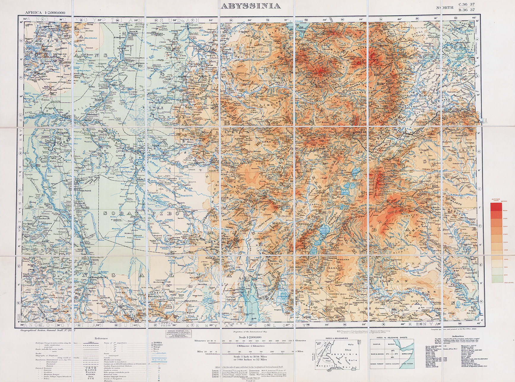
1925 "ABYSSINIA".
A fine original antique map showing Abyssinia, now Ethiopia, and international, intercolonial, provincial, district boundaries, with place names, railways, with gauge in metres written along the line, under construction, projected, roads suitable for motor traffic, suitable for carts, tracks, telegraphs or telephones, telegraphs or telephones along roads or tracks, boundaries: names of: provinces, frontier districts, localities, mountain ranges, peaks, valleys, capes, islands, tribes, towns of 1st, 2nd, 3rd, 4th and 5th importance, rivers, unsurveyed, canals, marshes and swamps, plains liable to inundation
Overall size approx 58 x 77cm.
£200.00