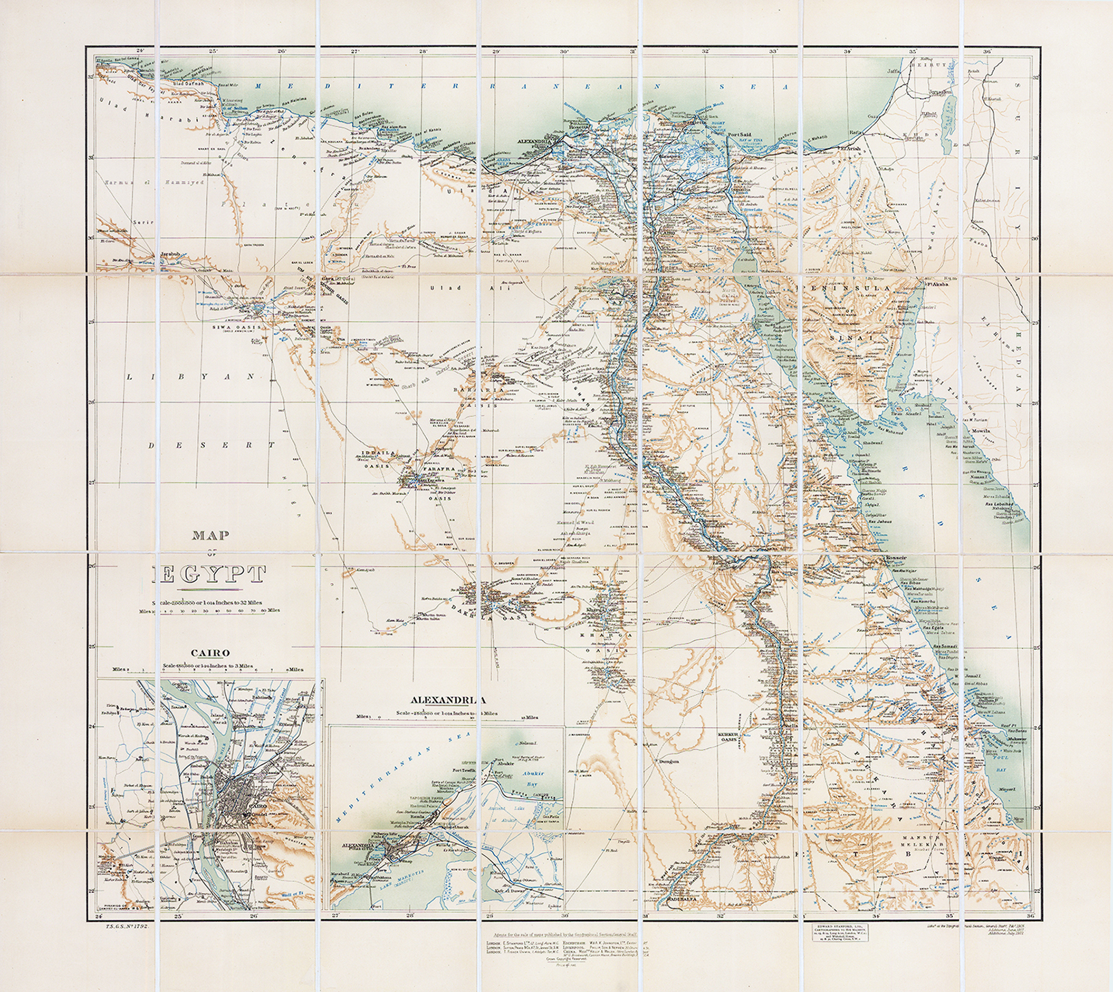
1922 "MAP OF EGYPT"
Dated 1922 with additions of the map produced in June 1917 which was lithographed at the Topographical Section. Dissected on linen on 24 folds. Topographical map of Egypt, with relief shown by shading and spot heights. Scale 1:2,000,000. Shows the Mediterranean Sea, Red Sea, Nile River, towns and villages, roads and tracks, salt lakes, canals, oases, and terrain features. Includes inset maps of Cairo on a scale of 1:150000 and Alexandria on a scale of 1:250000
Overall size approx 67 x 68cm.
£150.00