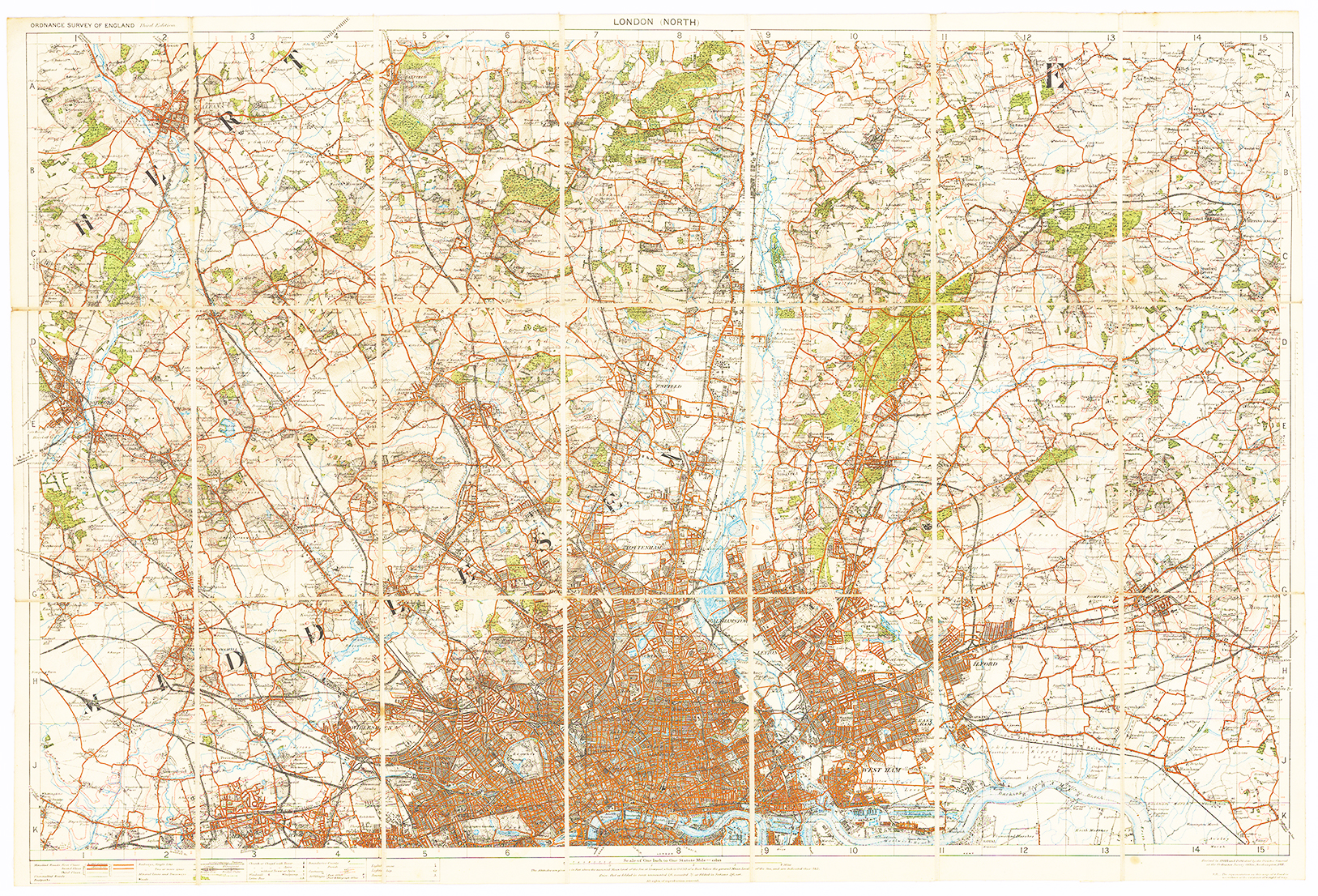
1912 "NORTH LONDON".
A fine large original antique folding map published by Edward Stanford in 1912 for Ordnance Survey. Dissected into 21 sections and laid to linen, with lower central area focused on the North London area east to west CITY - ISLINGTON etc and at the top far left from ST ALBANS - HATFIELD - EPPING - CHIPPING ONGAR and at the bottom left from GREENFORD through North London across to ILFORD.
Overall size approx 78 x 53cm. Condition is excellent.
£175.00