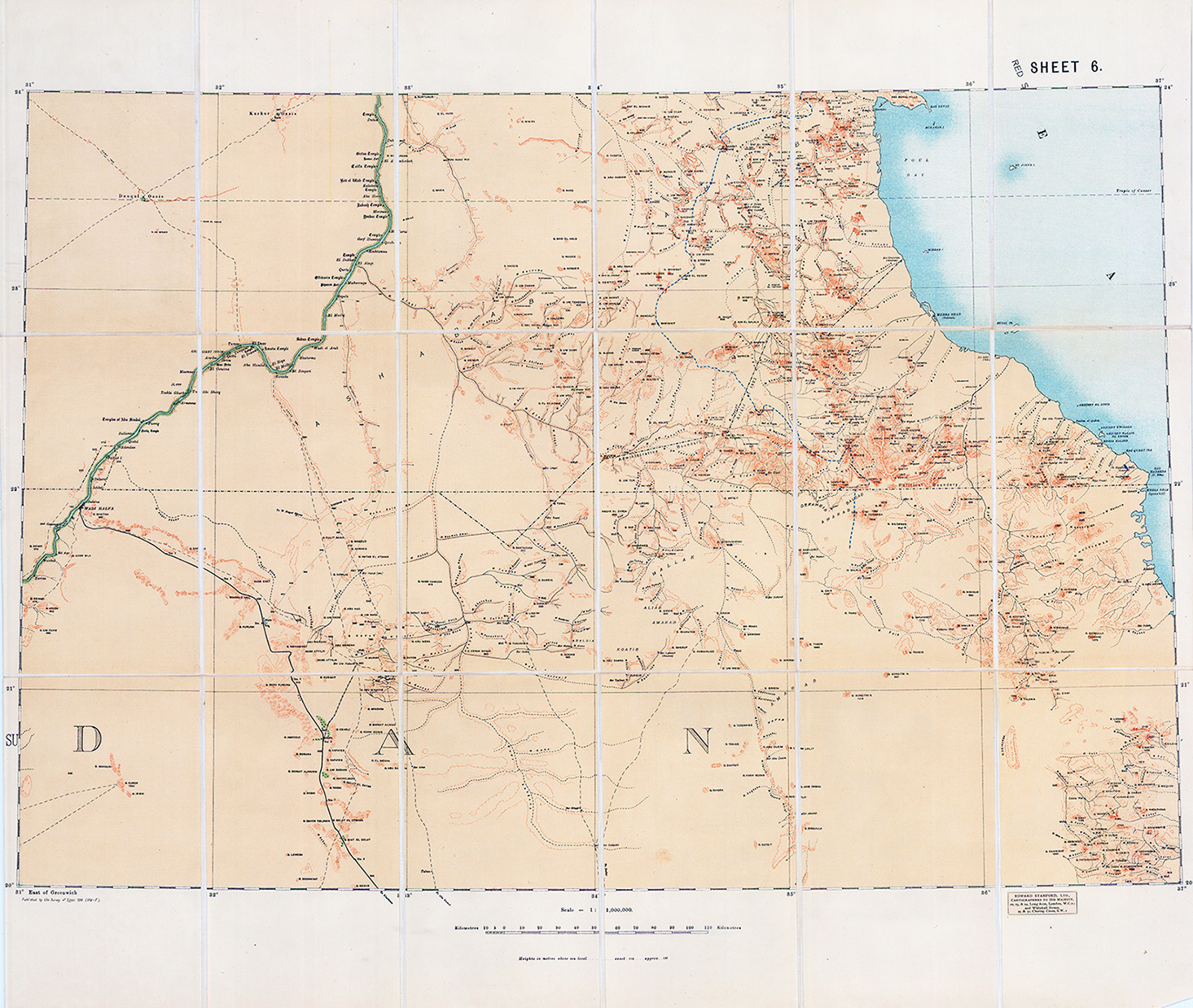
1910 A fine original antique topographic map - Sheet 6 of the War Office Map of the Egyptian Sudan (Scale 1:1,000,000), compiled and printed by the British War Office / Survey Department & published by Edward Stanford. 1 : 1,000,000 (approximately 15.78 miles to one inch). Depicts relief via hachures/contours, caravan routes, wells, regional boundaries, and geographical coordinates relative to Greenwich. Created for military administration, geographical reference, and desert reconnaissance during the early-to-mid 20th century.
Overall size approx 66 x 68cm
£125.00