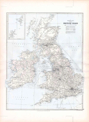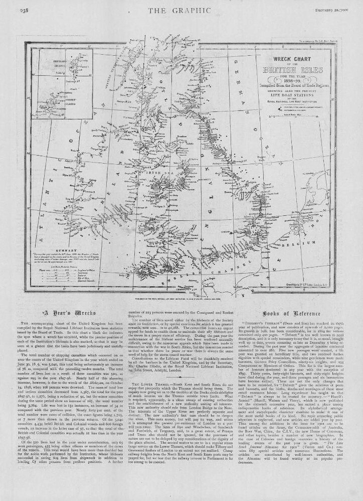
1900 December 22nd - Original Antique Print taken from The Graphic: "WRECK CHART OF THE BRITISH ISLES"
Overall size of this print is approximately 40cm x 28cm with large margins, perfect for mounting and framing. Condition is excellent. These prints are taken from THE GRAPHIC and in many cases, there will be text and images on the reverse side.
The Graphic was first published in 1869, founded by William Luson Thomas and was a weekly newspaper reporting details of local, UK and worldwide events and stories.
£19.80