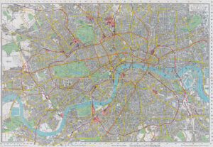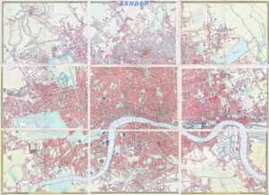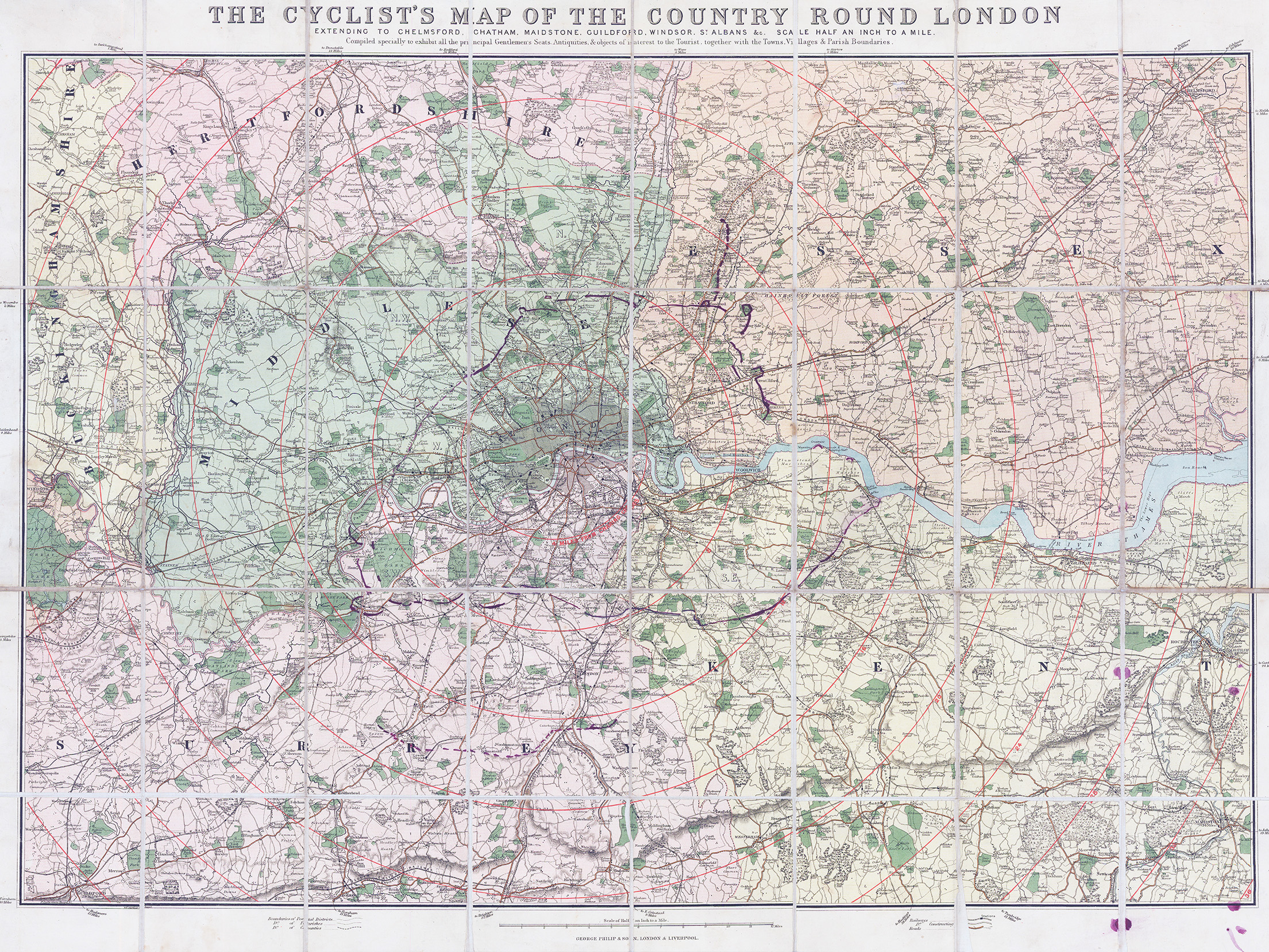
1895 "THE CYCLIST'S MAP OF THE COUNTRY ROUND LONDON EXTENDING TO CHELMSFORD, CHATHAM, MAIDSTONE, GUILDFDORD, WINDSOR, ST ALBANS - SCALE HALF AN INCH TO A MILE".
A fine example of the large original antique folding map dissected into 32 sections and laid to linen. Published by George Philip & Son, the map extends from Hertfordshire in the north across to Chelmsford, focused on Central London and in the south from Byfleet in Surrey across to Rochester & Maidstone. Lithograph printed with the home counties colour coded and showing 4 Mile contentric rings centering from Charing Cross.
Overall size approx 73 x 55cm. Condition is generally fine.
£125.00