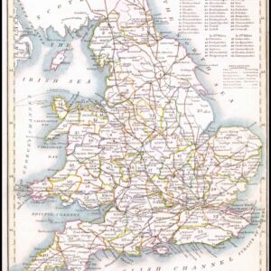
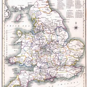
1889 - " STANFORD'S PORTABLE MAP of ENGLAND & WALES with THE RAILWAYS clearly delineated THE CITIES AND TOWNS Distinguished according to their Population and The Mountains and Hills carefully reduced from The Ordnance Survey, London, Edward Survey "
Hard back binding in publisher's original deep burgundy cloth covered boards, gilt lettering to the front cover, yellow paper advertising Standford's Series of the New Library Maps inside the front cover and the reverse of the rear folded section.
Opening to approximately 70cm x 82cm.
£90.00