1888 Large Original antique folding map LONDON POST OFFICE DIRECTORY
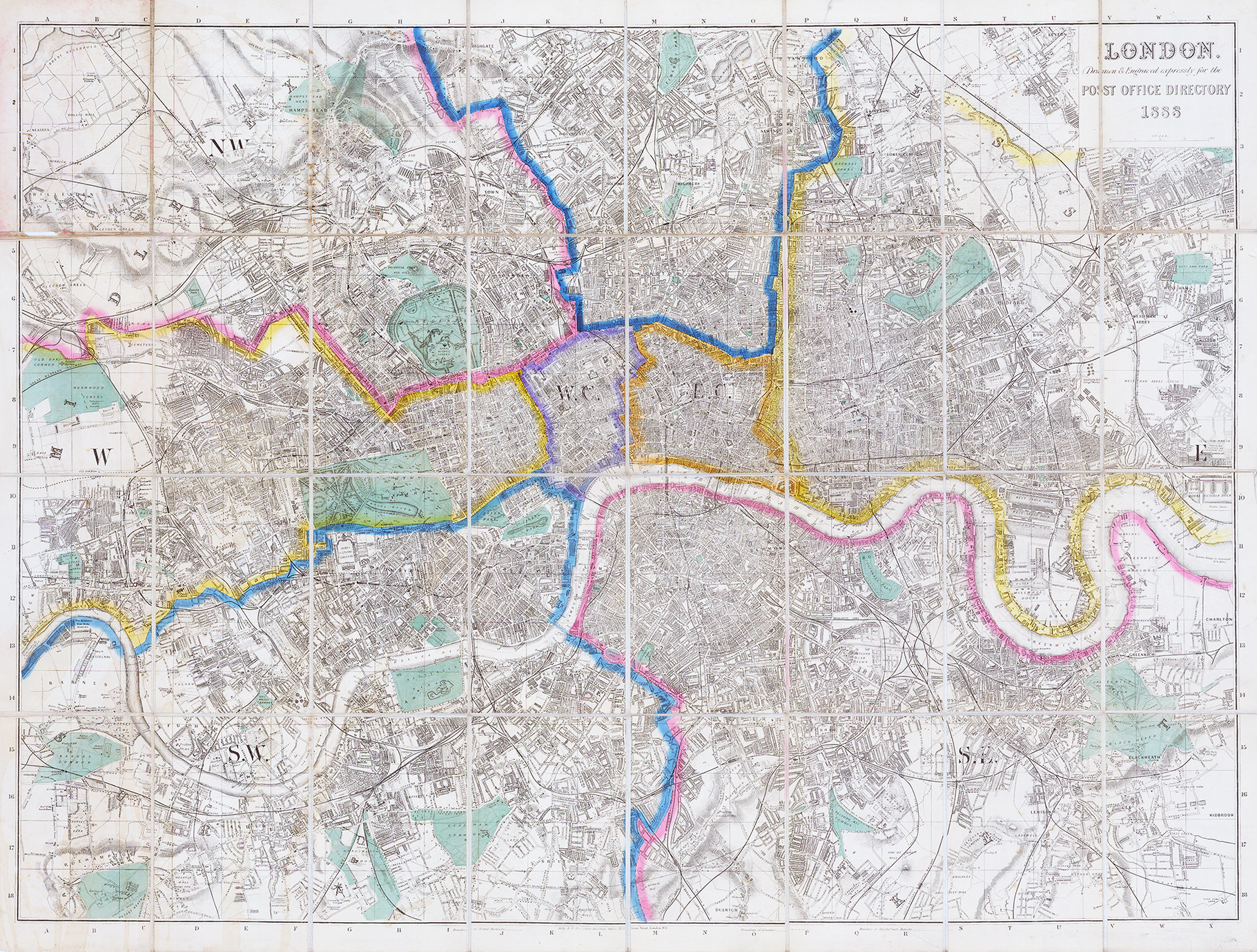
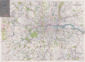
1888 "LONDON Drawn & Engraved expressly for the POST OFFICE DIRECTORY 1888".
A fine antique original large scale folding map published by Kelly & Co showing the entire Central & Great London areas. Dissected into 32 sections and laid to linen. Showing, in the top left from DOLLIS HILL - WILLESDEN GREEN - HAMPSTEAD - KENTISH TOWN - HOLLOWAY - HIGHBURY - HACKNEY & across to LEYTON and from the bottom left from BARNES - ROEHAMPTON - CLAPHAM - DENMARK HILL - PECKHAM - LEWISHAM across to BLACKHEATH.
Overall size approx 96 x 74cm with original outline hand colouring. Conditition is generally good with some splits to a few of the linen folds but otherwise fine.