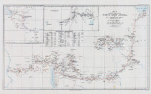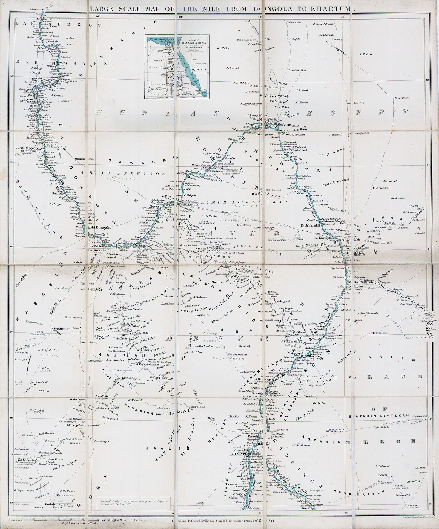
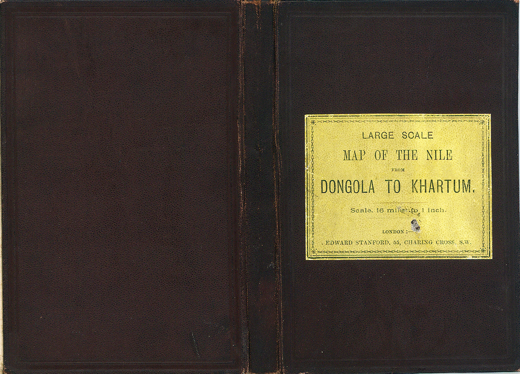
1884 "LARGE SCALE MAP OF THE NILE FROM DONGOLA TO KHARTOUM".
A folding map of Sudan showing the course of the River Nile from Khartoum to just south of the modern-day Egyptian border. This map was published to illustrate the ongoing Nile Expedition to relieve the Siege of Khartoum and rescue General Gordon and his troops. The relief expedition finally arrived at Khartoum on the 26th January 1885, too late to save Gordon, and roughly a month after this map was printed. The Siege of Khartoum caused a sensation amongst the British public, so it is not surprising that Stanford very quickly produced a map to illustrate the routes available to the Relief Expedition.
The map is remarkably detailed with many villages, wells, and wadis marked beyond the banks of the river. The route of the telegraph line connecting Khartoum to Egypt is marked, as are many known routes across the desert. Stanford credits most of the detail on this map to the Intelligence Branch of the War Office, suggesting that charts very similar to this one would have been in the possession of both Gordon and his relief expedition.
£225.00