1883 Large Original Antique Colour Map of BELGIUM NETHERLANDS LUXEMBOURG (PHA)

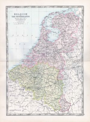
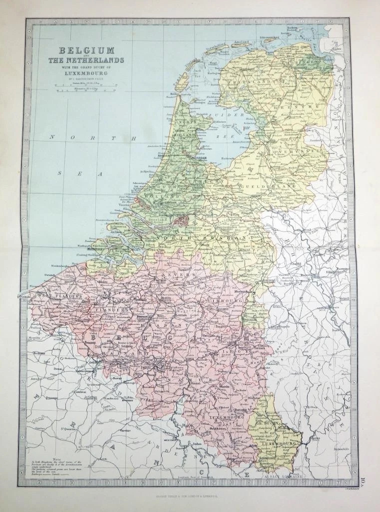
1883 - A large original antique Map titled: "BELGIUM and THE NETHERLANDS with the Grand Duchy of LUXEMBOURG"

Published by George Philip & Son in 1883 and taken from the "Philips Handy General Atlas of the World".
Overall size approximately 46cm x 31cm including large margins.

£24.20

1 in stock

© Copyright 2024 - The Antique Paper Company - All Rights Reserved
heartshopping-cart linkedin facebook pinterest youtube rss twitter instagram facebook-blank rss-blank linkedin-blank pinterest youtube twitter instagram