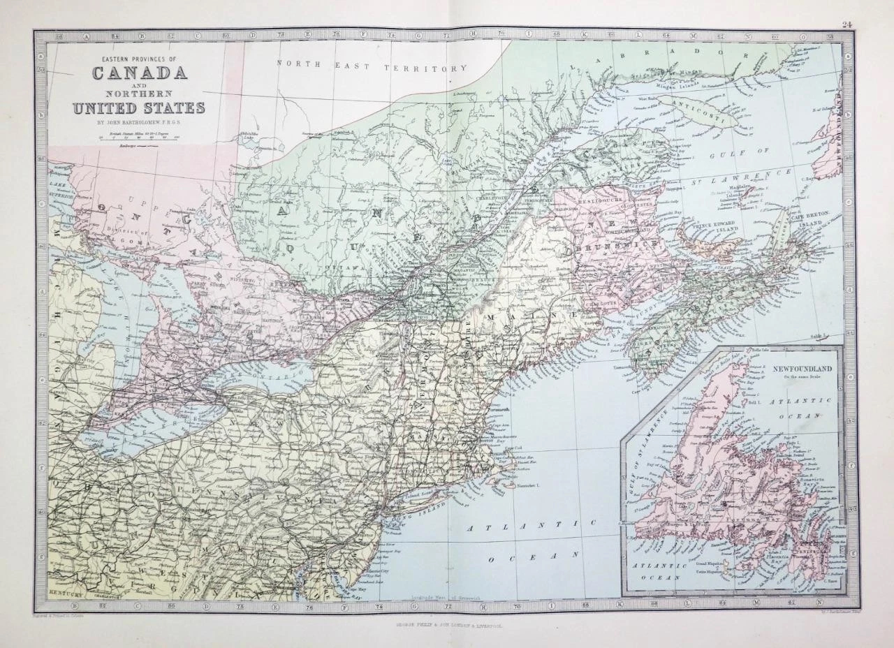
1883 - A large original antique Map titled: "Eastern Provinces of CANADA and Northern United States"
Published by George Philip & Son in 1883 and taken from the "Philips Handy General Atlas of the World".
Overall size approximately 46cm x 31cm including large margins and perfect for mounting and framing.
Condition is excellent.
£33.00