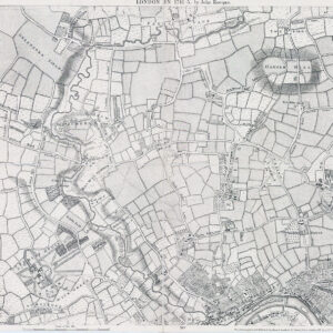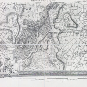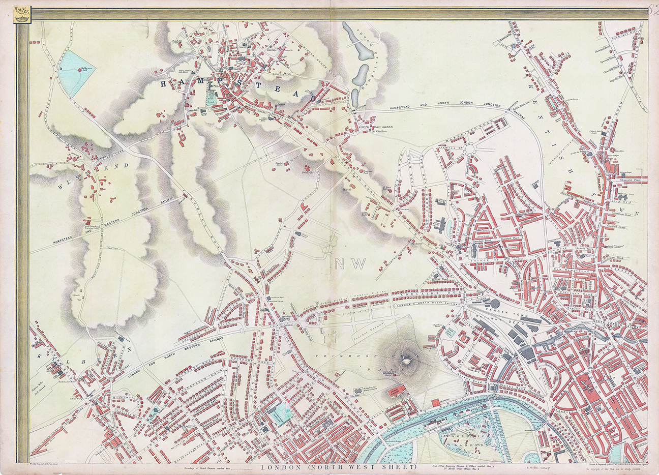
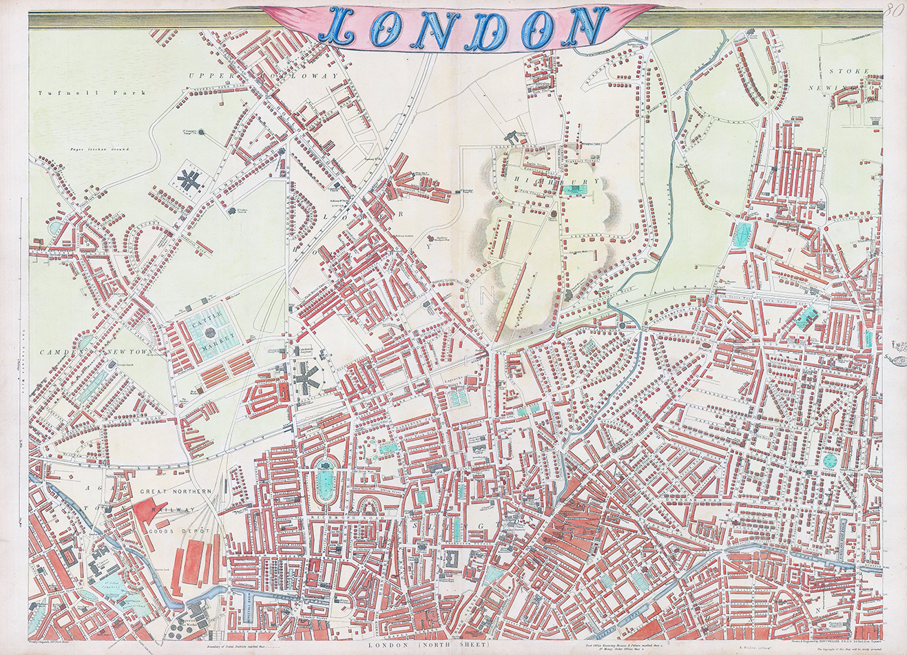

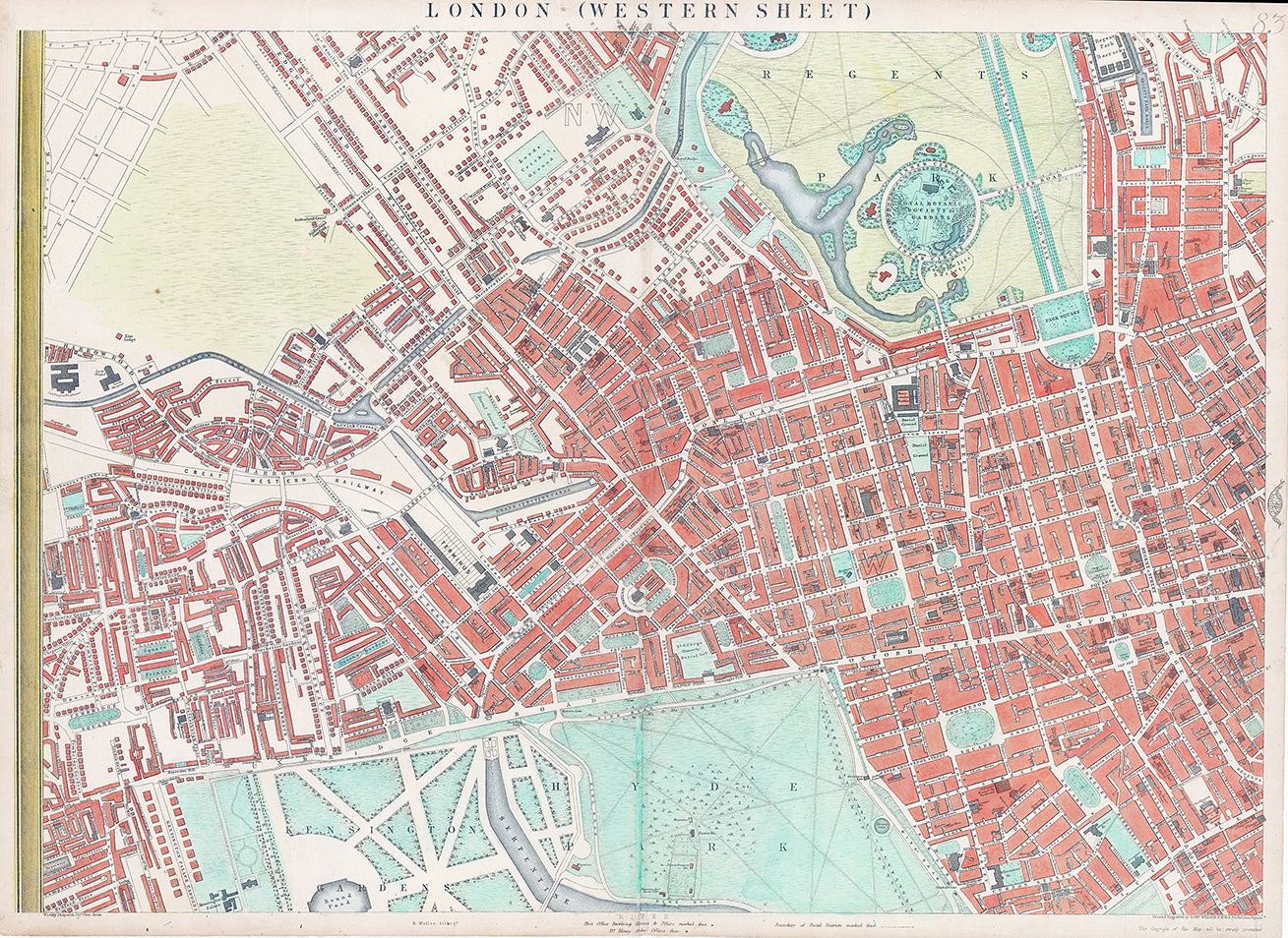

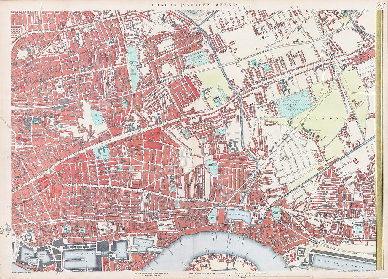
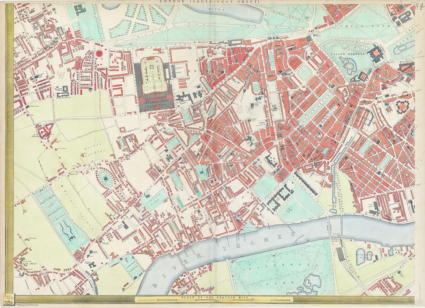
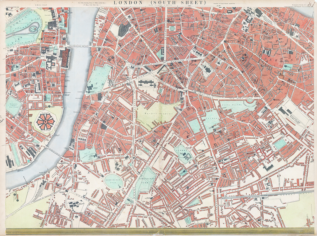

1863 CASSELL'S MAP OF LONDON.
Compiled and engraved by Edward Weller. A fine example of this nine sheet wall map published for The Weekly Dispatch, lithographs with full hand colouring. Overall combined size approx 144cm x 198cm (each sheet approx 48cm x 66cm).
The map shows amongst other things, post district boundaries and post offices. It also marks the site of the International Exhibition of 1861, which is now occupied by the South Kensington museums. It also shows Waterloo Station (1848). the new Victoria Station (1860) and Brunel's original Hungerford Suspension Bridge, which was just about to be replaced with the railway bridge for Charing Cross Station.