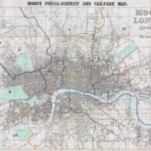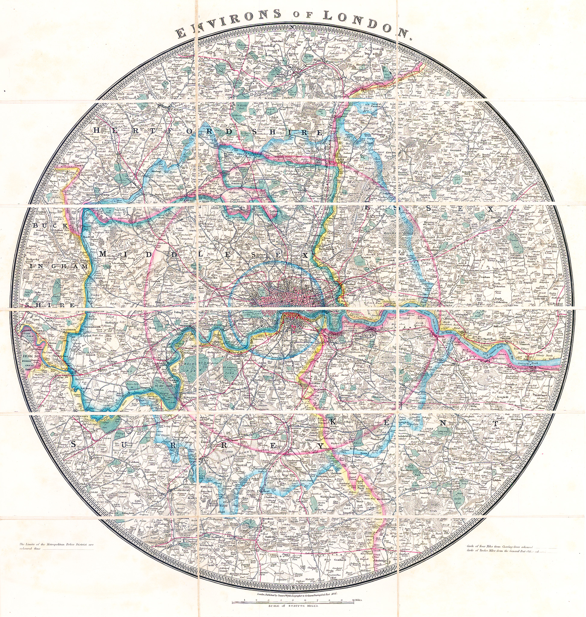
1861 "ENVIRONS OF LONDON"
A fine original antique folding map by James Wyld dissected and laid to linen and comes with the original Slip Case. This circular folding map of London and its environs extending approximately 25 miles out, showing the extents from just beyond Hertford in the north to just beyond Reigate in the south and Stanford-le-Hope in the east to Windsor Great Park in the west. Full original colour in block and outline, marking out the postal and county divisions. Dissected into 18 sections and backed onto linen.
Overall size when folded out approx 61.5 x 65cm.
Condition is excellent.
£450.00