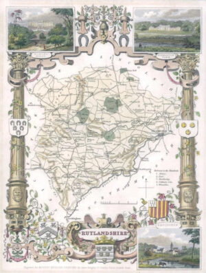
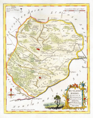
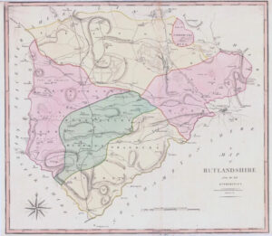
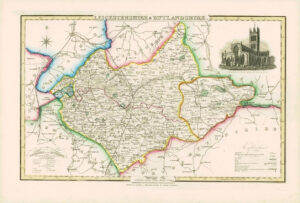
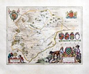
1860 Joshua Archer map of RUTLANDSHIRE England with outline colour (AM3/42)
1860 - Original antique map by Joshua Archer titled: "RUTLANDSHIRE" Taken from "The Topographical Dictionary of England and Wales with COUNTY RAILWAY ATLAS - coloured".
Size approximately 28.5cm x 23cm with good margins.