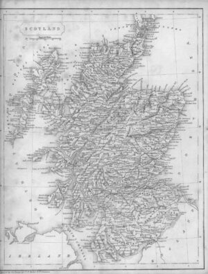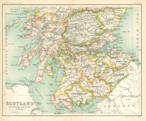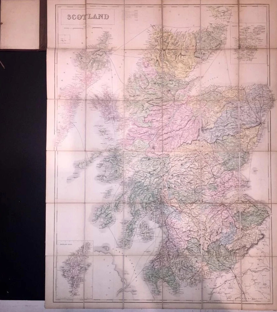
1860 - A large original Antique Folding Map titled: "BLACK'S ROAD & RAILWAY TRAVELLING MAP OF SCOTLAND".
Linen backed folded into 36 sections, scale 10 miles to an inch and pale colouring. Brown cloth boards with Gilt title and decoration to the front and silk ties.
Overall size is 83cm x 63cm once opened.
The map is in excellent condition.
£110.00