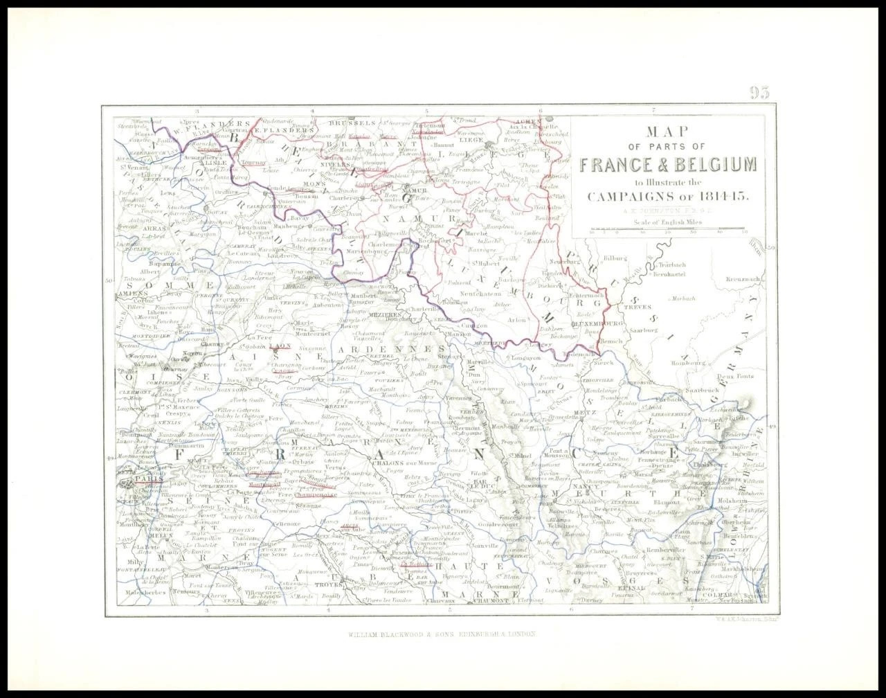

1852 - Original Antique Map titled: " MAP OF PARTS OF FRANCE & BELGIUM to Illustrate the CAMPAIGNS OF 1814-15. "
Provenance: Taken from 'ALISON'S HISTORY OF EUROPE Constructed and Arranged, under the Direction of Sir Archibald Alison, by Alex. Keith Johnston, F.R.S.E. F.R.G.S. F.G.S Geographer at Edinburgh.' by W. Hughes & John Bartholomew and published by A & C Black, Edinburgh.
Excellent condition.
Size approximately 26cm x 21cm including margins.
£30.00