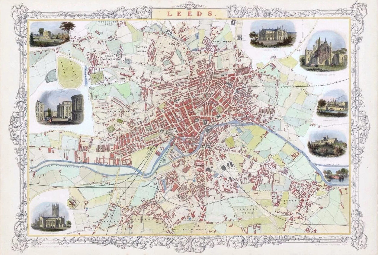
1851 - "LEEDS" Drawn & engraved by John Rapkin for "The Illustrated Atlas and Modern History of the World" published by John Tallis.
A rare and highly decorative map showing the City Plan of LEEDS. Exceptional detail of the central streets with vignettes of MILL HILL CHAPEL - KIRKSTALL ABBEY - WELLINGTON BRIDGE - NEW GAOL - CEMETARY WOODHOUSE - TOWN HALL - ST PETER'S CHURCH.
Generally fine condition. Approximately 360mm x 530mm with central fold as issued.
John Tallis is considered to be one of the most renowned cartographers and publisher of the C19th.
His maps are considered to be the last of the lavishly decorated and ornamental maps, works of art as much of geography.
He was born in Stourbridge in Worcestershire in about 1818 and it is possible he stayed working in the Midlands working as a publisher in Birmingham, until he moved to London in the early 1840’s.John then set up the first of his publishing businesses, in Cripplegate, with Frederick Tallis, who was quite possibly his brother. This business lasted from 1842 to 1849 when it was dissolved. By 1846 the business had moved to Smithfield.From 1851 – 54, John set up another business, operating as John Tallis and Company and it was during this period that he produced the Illustrated World Atlas, produced for the 1851 Great Exhibition.
£264.00