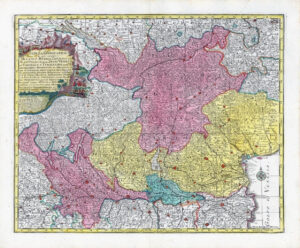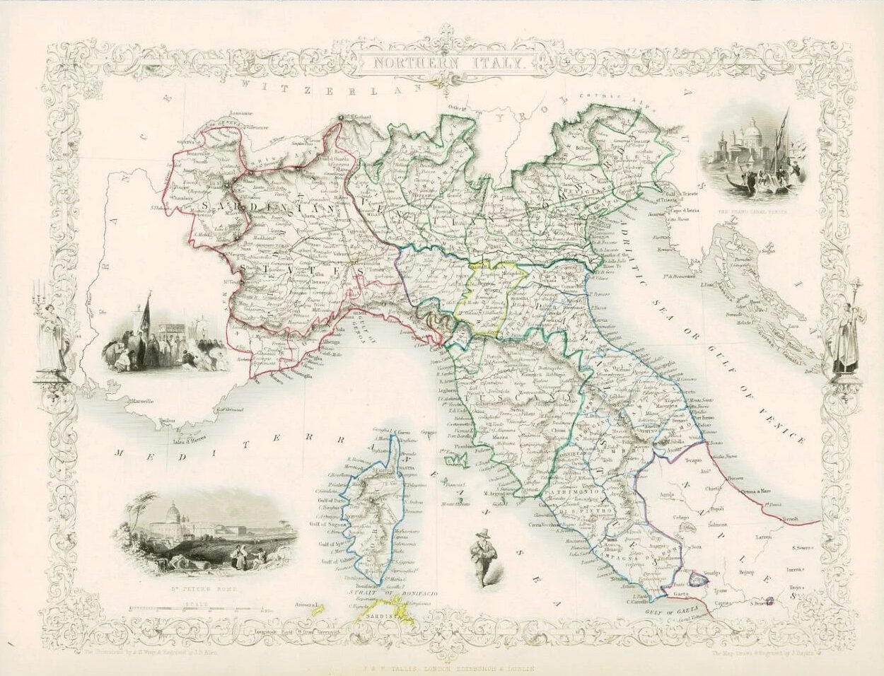
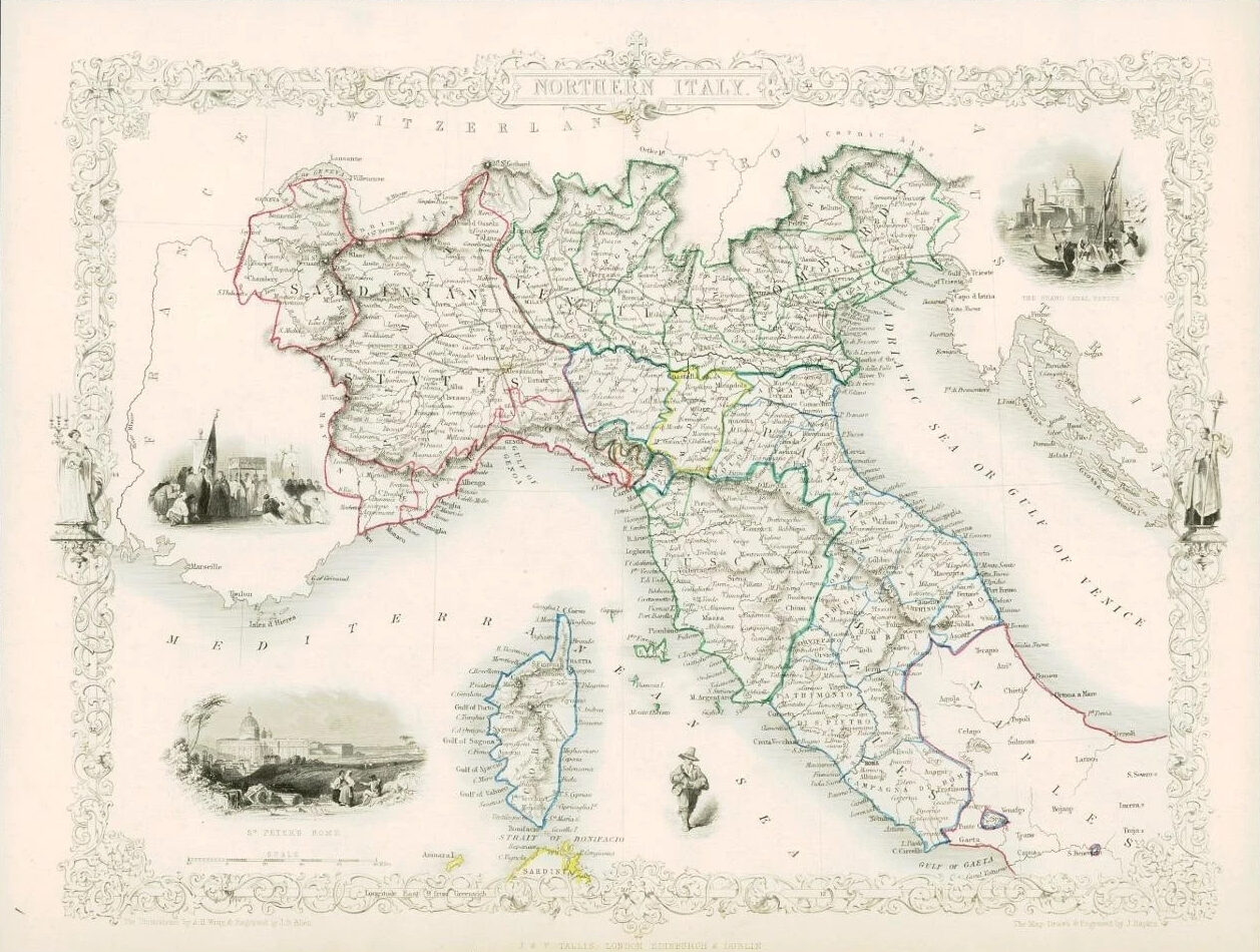
1851 - "NORTHERN ITALY"
Drawn and engraved by John Rapkin for "The Illustrated Atlas and Modern History of the World" by Martin Montgomery.
An attractive and decorative map of SOUTHERN ITALY showing the island of CORSICA & with vignette engravings of THE GRAND CANAL VENICE & ST PETERS ROME.
Original outline hand colouring.
Generally fine condition with central fold as issued.
Approximately 360mm x 280mm and printed on heavy grade paper.
Perfect for mounting and framing.
£71.50