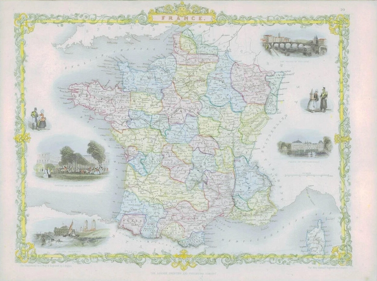
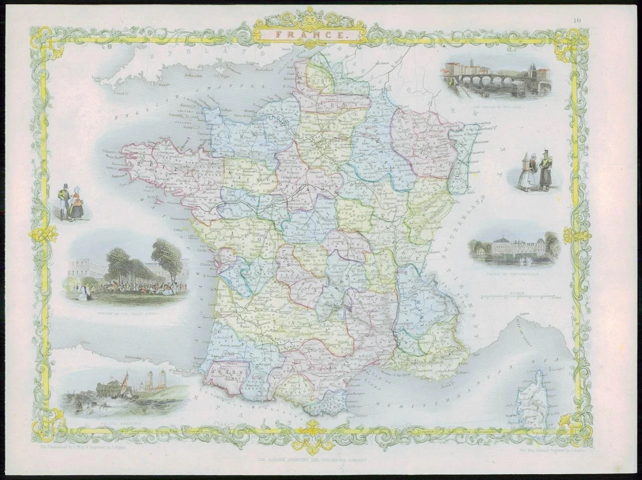
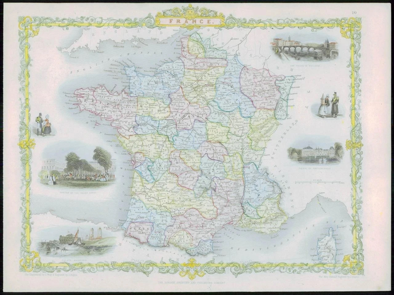
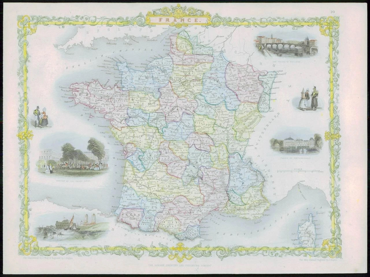
1850 - "FRANCE"
Drawn and engraved by John Rapkin for "The Illustrated Atlas and Modern History of the World" by Martin Montgomery. An attractive and decorative map from the RARE First Edition map with vignette engravings of THE BRIDGE OF TOULOUSE - PALACE OF FONTAINBLEAU - GARDEN OF THE PALAIS ROYAL - CALAIS HARBOUR.
This example with superb full early hand colouring of the decorative border and all of the vignettes.
Original outline hand colouring. An excellent example of the preferred Montgomery Martin edition.
As this example is from the 1st edition, it is not folded and in excellent overall condition.
Approximately 360mm x 280mm and printed on heavy grade paper.
Will look outstanding once mounted and framed.
£82.50