1850 - "EASTERN HEMISPHERE"
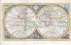
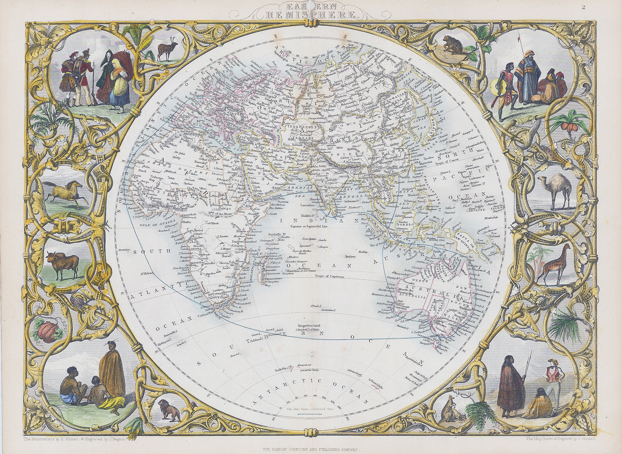
Drawn and engraved by John Rapkin for "The Illustrated Atlas and Modern History of the World" by Martin Montgomery. An attractive and decorative map with stunning vignette engravings in the borders. This example with full early hand colouring of the decorative borders and all the vignettes.
Approximately size 360mm x 280mm.
In the top centre outer margin, there is a piece missing in the 'EAS(T)ERN" Title.
£165.00