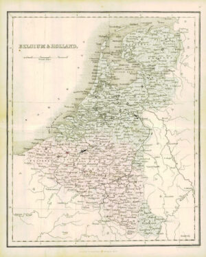
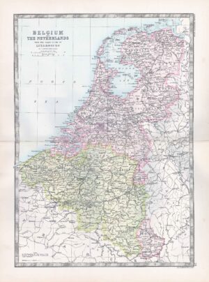
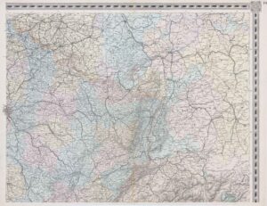
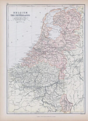
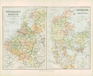
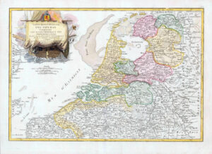
1849 - "BELGIQUE HOLLANDE & BORDS DU RHIN"
A fine original antique map by J Andriveau-Goujon published for "ATLAS USUAL DE GEOGRAPHIE MODERNE' by Lanee Succr. De Longuet, Paris.
Overall size approximately 63.5cm x 50.5cm including margins.
Condition generally very fine with central fold as issued.
£38.50