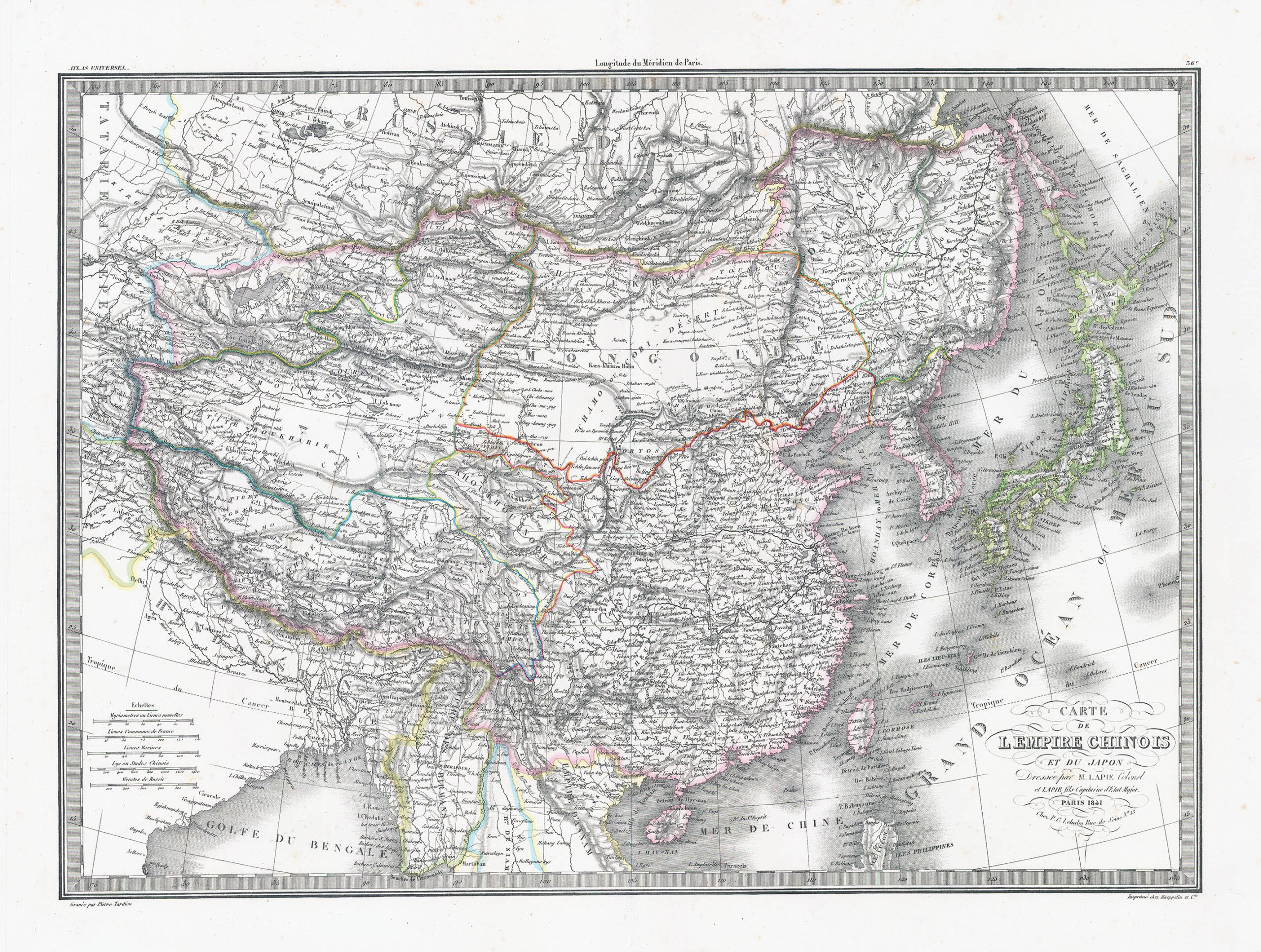
1841 - "CARTE DE L'EMPIRE CHINOIS et du JAPON"
Highly detailed map of China, Japan, Korea and Central Asia. Coloured by Kingdom and Province. Shows towns, rivers, lakes, islands, mountains, early roads and a host of other details, by Lapie.
Overall size approximately 62cm x 47cm including the margins.
Condition is generally fine with some light occasional tone spots.
Pierre M. Lapie (1779 – 1850) was a French cartographer & engraver. He was the father of cartographer Alexandre Emile Lapie. Lapie was a Colonel in the French Army, where he worked in the corps of topographical engineers. Lapie worked closely with his son and published works together and individually. The work of Lapie and his son was influential on German commercial map makers in the 19th century. Works by Lapie are held in the collection of the Library of Congress.
£181.50