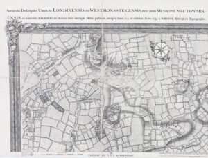
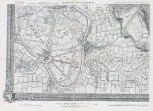
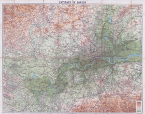
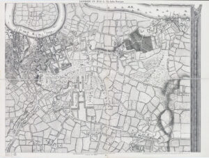
1841 - "A Plan of the Parish of St. Mary Islington, with the boundaries of the Several Ecclesiastical Districts, Surveyed by R Creighton for the Parochial History by S Lewis".
A fine and rare map of the Parish of St Mary, Islington.
Original outline hand colouring with a table of the local WARDS on the right bottom and a table of the ECCLESTASTICALL DISTRICTS on the bottom left. This example was published in "The History and Topography of the Parish of St, Mary Islington" by Samuel Lewis.
Overall size including margins approximately 38cm x 43cm.
Condition is excellent with several folds, as issued.
£450.00