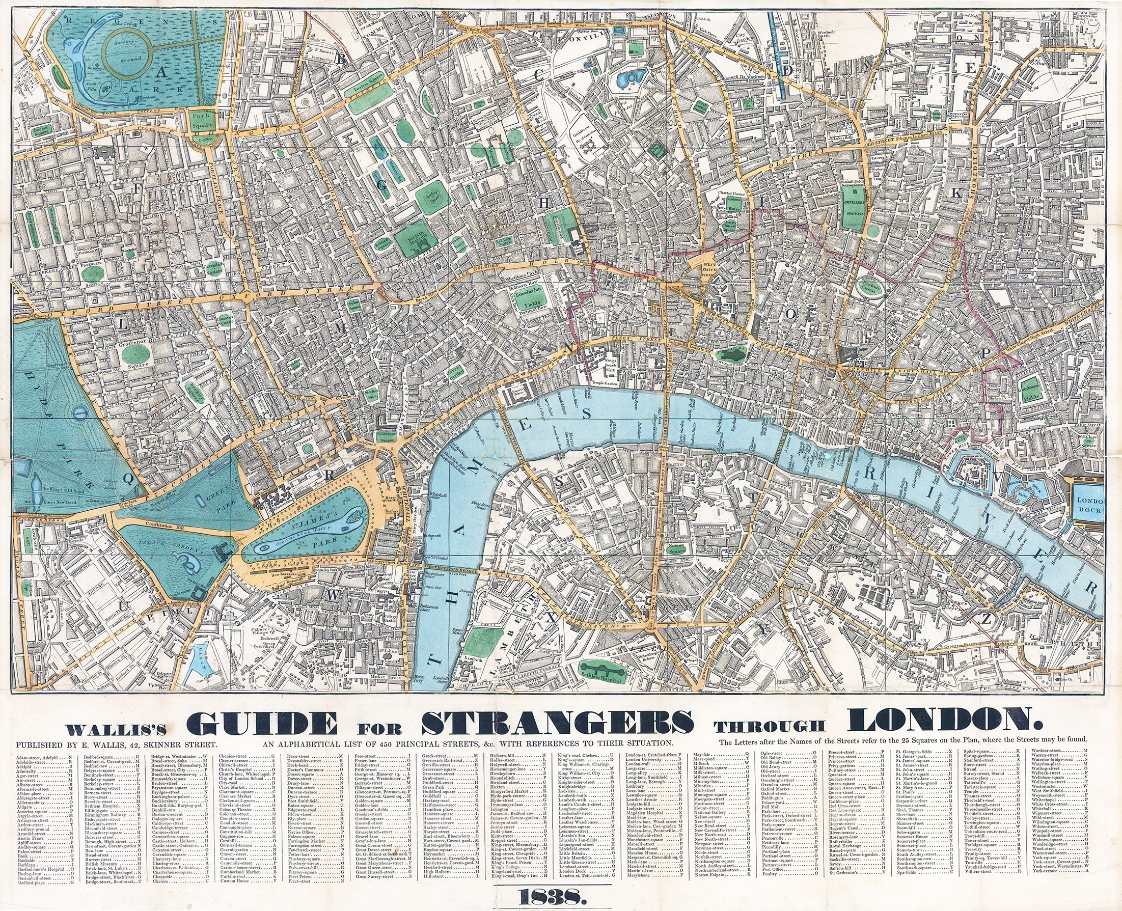
1838 "WALLIS'S GUIDE FOR STRANGERS THROUGH LONDON - PUBLISHED BY E WALLIS, 42 SKINNER STREET - AN ALPHABETICAL LIST OF 450 PRINCIPAL STREETS & WITH REFERENCES TO THEIR SITUATION - THE LETTERRS AFTER THE NAMES OF THE STREETS REFER TO THE 25 SQUARES ON THE PLAN, WHERE THE STREETS MAY BE FOUND".
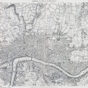
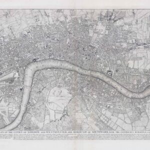
A fine original antique map with original outline and block hand colouring. Stretching in the north from PADDINGTON through PENTONVILLE - ISLINGTON - HOXTON and through the middle from HYDE PARK - OXFORD STREET - MAYFAIR - LINCOLN'S INN - THE CITY and in the south from PIMLICO - WESTMINSTER and across the River to SOUTHWARK - ROTHERHITHE.
Overall size 56.5 x 69.5cm.
This was originally published as a folding map and this example has been paid onto a backing card, ready for mounting and framing.
Condition is overall very fine.
£550.00