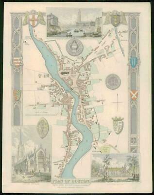
1837 - A fine original antique map by Thomas Moule titled:" PLAN OF BOSTON "
A very attractive original antique engraved map with full original hand colour. Vignette views of CHURCH & BRIDGE BOSTON - LOUTH CHURCH - NOCTON HOUSE.
Taken from " The English Counties delineated, or, a topographical description of England " published in 1837.
Thomas Moule (1784 - 1851) was an English antiquarian, writer on heraldry and map mapper. He is best known for his highly decorated County Maps which were steel engraved.
Overall size including margins 21cm x 26.5cm.
Map in good condition. Perfect for mounting & framing.
£58.00


