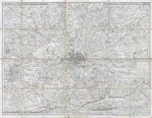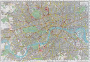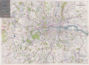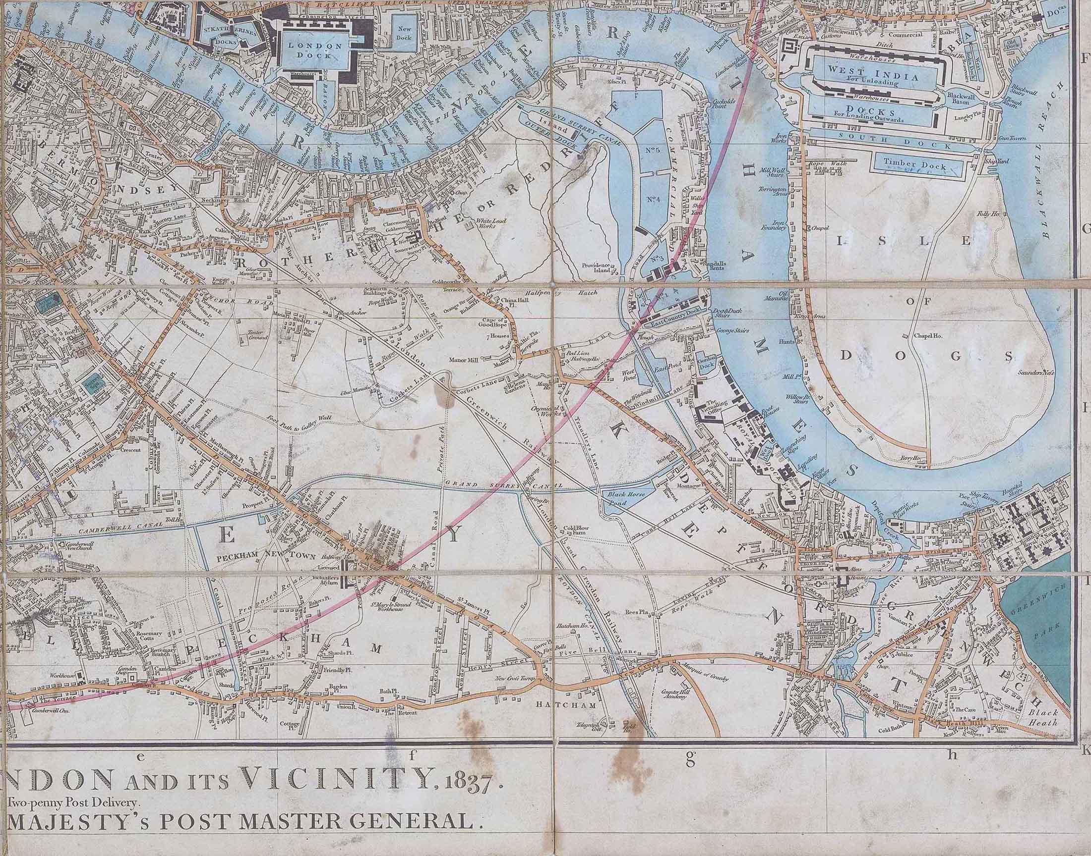
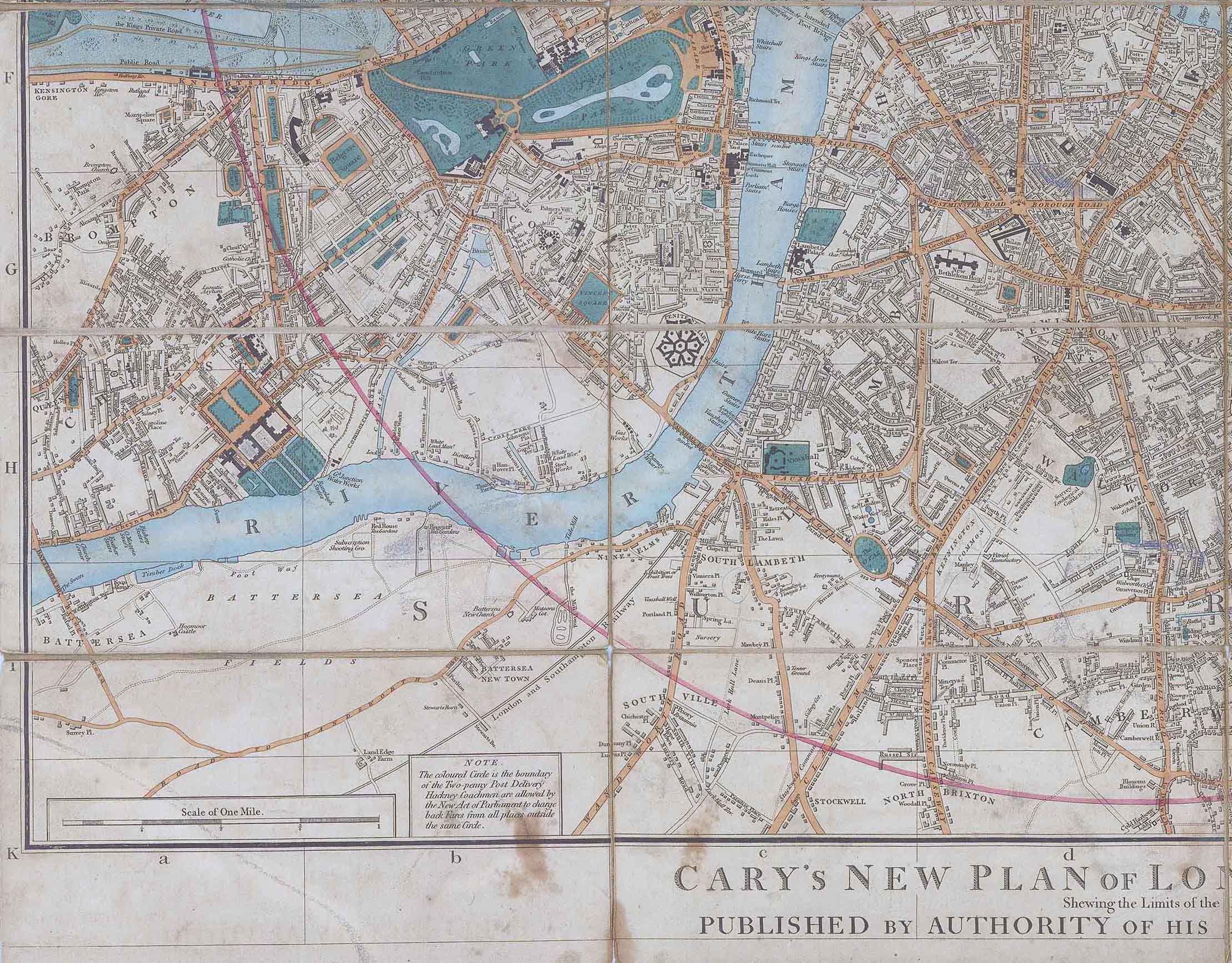
1837 "CARY'S NEW PLAN OF LONDON AND ITS VICINITY, 1837 Shewing the Limits of the Two-penny Post Delivery PUBLISHED BY AUTHORITY OF HIS MAJESTY'S POST MASTER GENERAL"
A good example of this folding map, dissected into 28 sections and laid to linen. Large folding map of London, extending to (clockwise from the west): the Serpentine in Hyde Park, Stoke Newington, Blackwall & Camberwell. Howgego No 279 State 11 which includes the position of Hungerford Bridge.
Overall size approximately is 83cm x 74cm.
Condition is good with some expected age tone spots and signs of wear. There is also a small biro blue pen note at the very top right corner.
£550.00