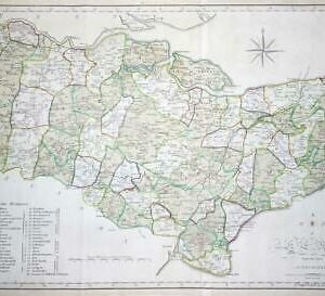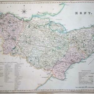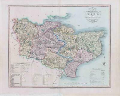
1833 Fine original engraved map titled "Map of the County of KENT Divided into Hundreds Containing the District Divisions and other Local Arrangements effected by the Reform Bill"
A fine engraved map showing the changes made by the Great Reform Act of 1832. Drawn by William Ebden, engraved by Hoare & Reeves and published by James Duncan, Paternoster Row in 1833. The map highlights the Hundreds of the county by way of a table, along with all the major roads.
This example features the original hand colouring and overall size is approx 51cm x 42cm. Central fold as issued and excellent condition. fold as issued. 50.5cm x 62cm
£70.00