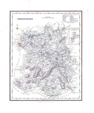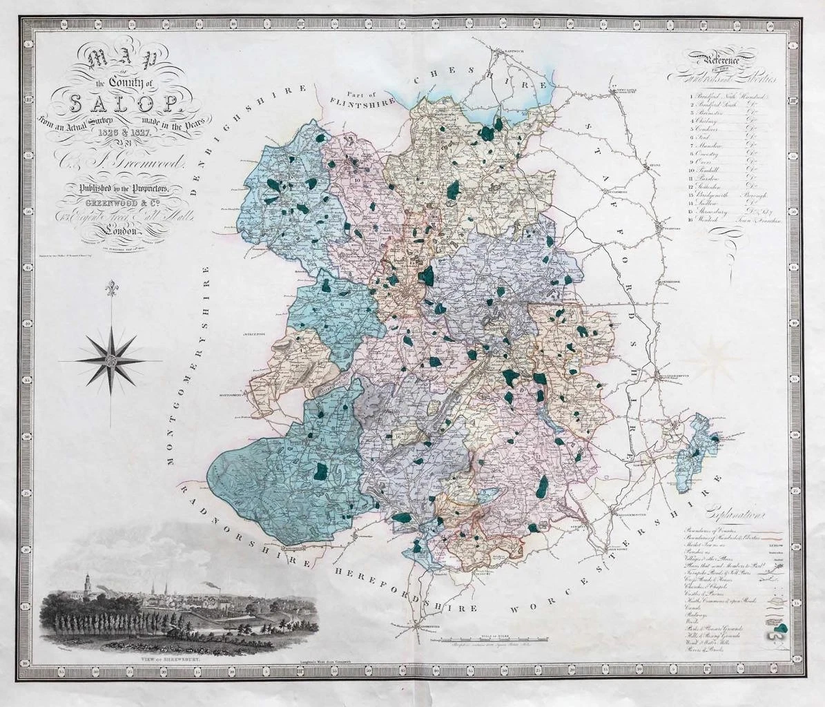

1830 - A large original engraved map titled: " A Map of the County fo Salop from an actual survey made in the years 1826 & 1827 by C & J Greenwood "
ALBION (England & Wales) take a sharp right angle turn at BRITANNIA (Southern Scotland), which is depicted as lying East to West. HIBERNIA (Ireland) lies in the Eastern Ocean (Atlantic). Britain is separated from France by the "British Ocean" and from Germany by the "German Ocean". LONDINIUM is the capital. Latin text on the reverse.
Excellent condition with central fold as issued.
Approximately 61cmx 71cm with large margins.
£120.00