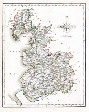
1830 "A MAP OF THE COUNTY PALENTINE of LANCASTER Divided into HUNDREDS and PARISHES from an accurate survey made in the years 1828 and 1829 by G HENNET LONDON". A Large-scale folding map of Lancashire, 163 x 115 cm, engraved by James Bingley, original hand colour, trivial offsetting, dissected into 48 panels and laid on linen, vignette beneath calligraphic title cartouche, upper right (a view of the New Custom House Liverpool engraved by William Woolnoth), edged in green silk.
For Hennet’s handsome large-scale map of Lancashire, the publisher Teesdale employed the engravers Bingley and Woolnoth, who had worked on his 1828 large-scale map of Yorkshire. Woolnoth also engraved vignettes for the Greenwood brothers. George Hennet (1799-1857) abandoned teaching for surveying, and then became a railway engineer, working with both Stephenson and Brunel. Here he shows railways which were proposed or under construction as if they were already complete: the Liverpool and Manchester (opened September 1830; our map was published in May); the Wigan and Newton Railway (just 7 miles long, opened September 1832) and the St Helens and Runcorn Gap Railway (opened February 1833).
Condition is presentable with some wear, occasional tone spots and some splits to linen folds.
£360.00