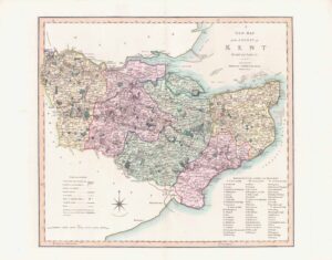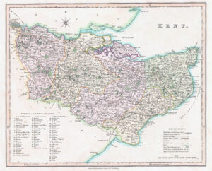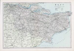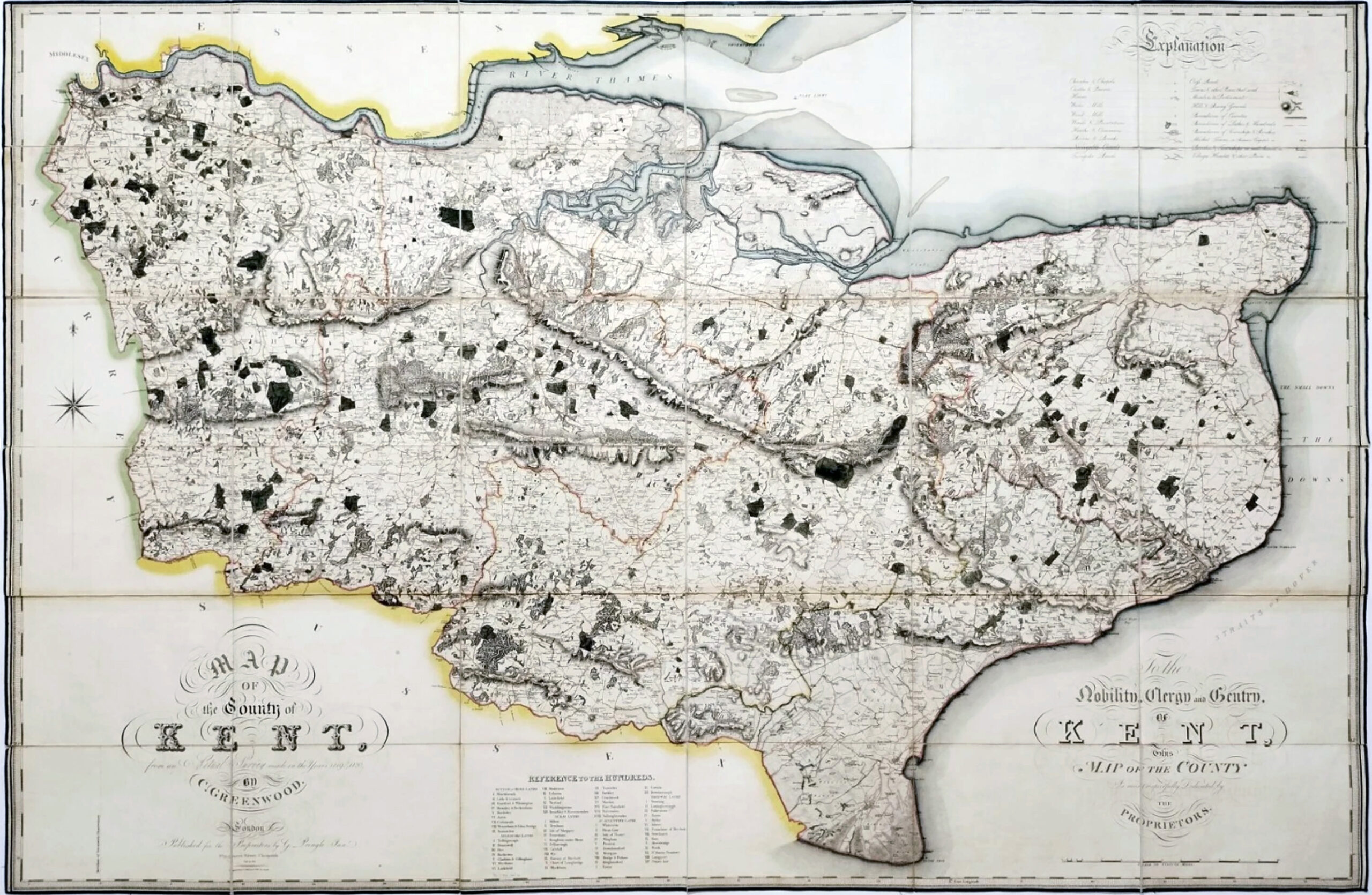

"Map of the County of Kent, from an actual Survey made in the Years 1819 & 1820. By C. Greenwood.To the Nobility, Clergy and Gentry, of Kent, This Map of the County Is most respectfully Dedicated by the Proprietors"
Publication - London, Published for the Proprietors, by G. Pringle Junior, No.70 Queen Street, Cheapside, July 19th, 1821.
A Large engraved map, dissected and mounted on linen, fine original full-wash colour, edged in green silk.
Size approx 1230mm by 1910mm (48.5 by 75.25 inches).
£1,000.00