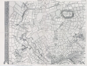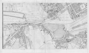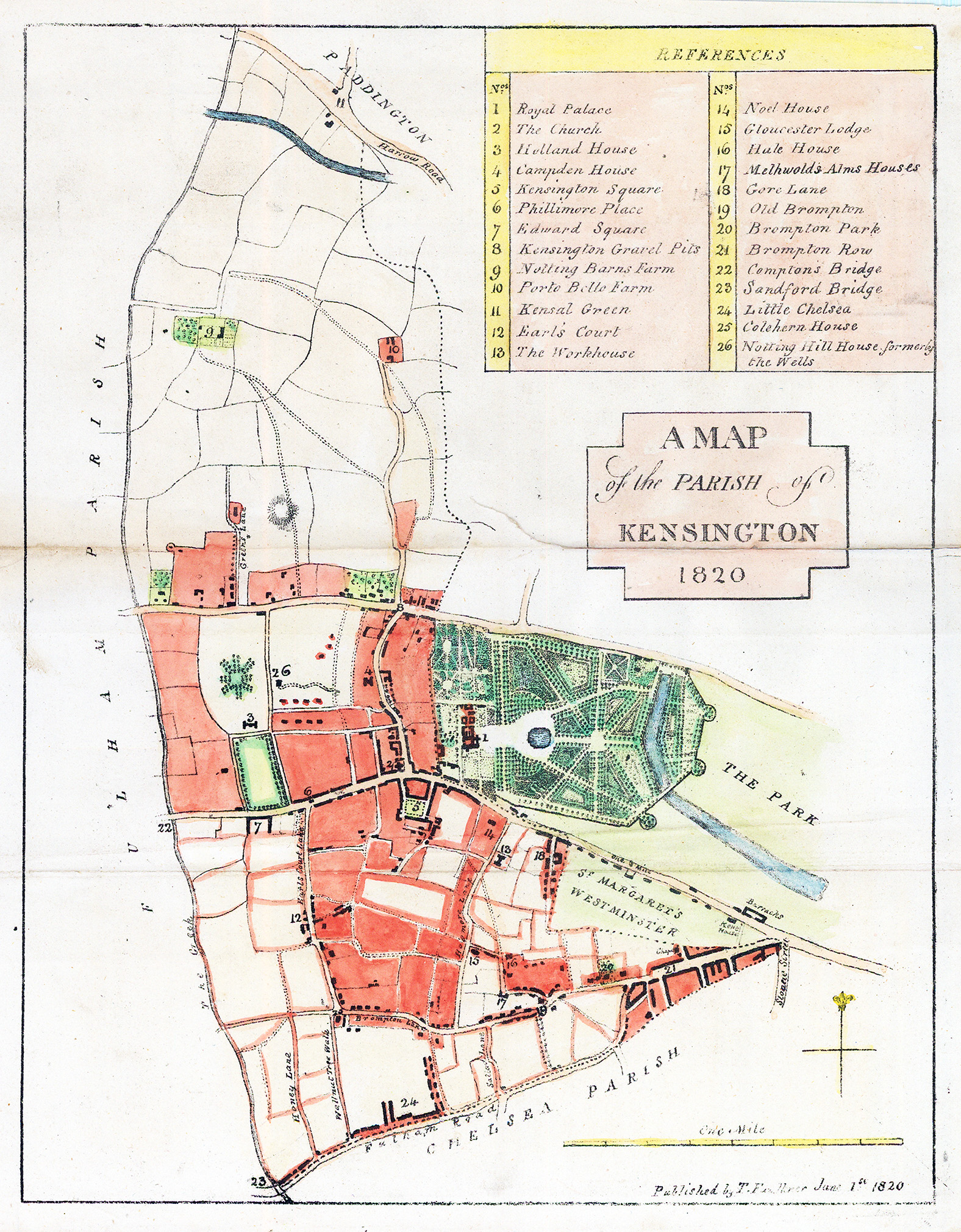
1820 "A MAP OF THE PARISH OF KENSINGTON 1820 Published by Thomas Faulkner June 1st 1820" A fine detailed antique map by Thomas Faulkner with a table of Important Buildings and Land in and around Kensington in the top left corner.
Overall size approx 20.5 x 26cm including the margins. Two horizontal folds as issued.
£180.00