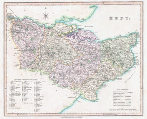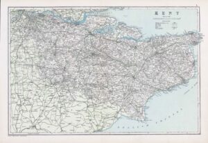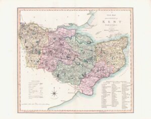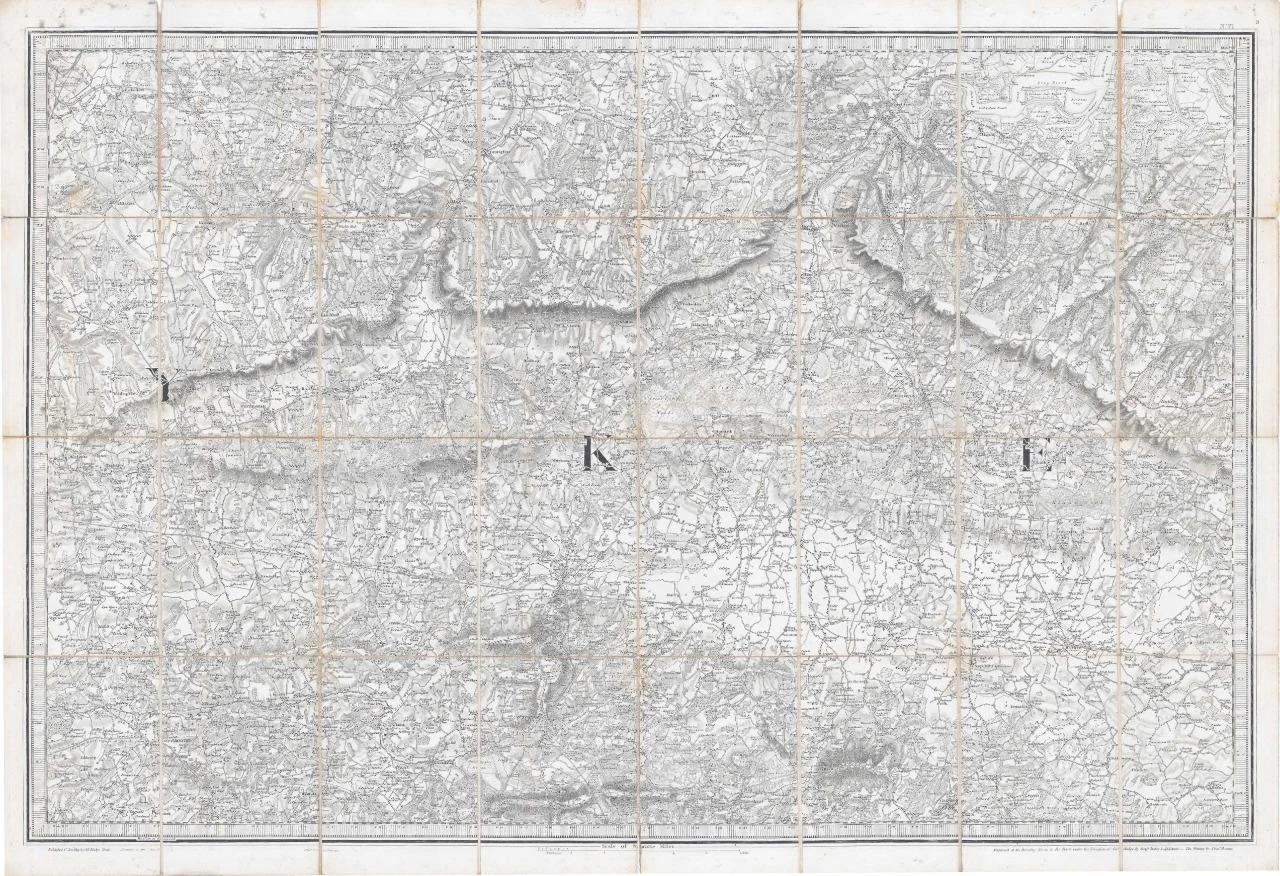
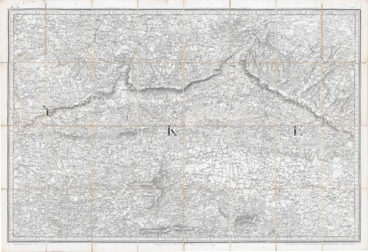
1819 - A fine large engraved map, dissected into 32 sections & laid to linen showing large parts of Kent and into Sussex.
Bottom left from East Grinstead across to High Halden bottom right. Top left Beckenham to Gillingham & Lower Halstow top right and lower centering on Tunbridge Wells. Highly detailed and Scale of Statute Mile.
Overall size approximately 98cm x 67cm.
Condition is generally good. Some of the linen folds have split but have been re-secured with archival tape to the rear.
£130.00