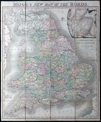
1810 - " MOGG'S NEW MAP OF THE ROADS. A New travelling Map of England, Wales and Scotland; drawn from all of the Surveys which have hitheerto been made of particular counties, describing the Direct and principal Cross Roads, Cities, Boroughs, Market Towns and Villages to which is added. The actual distance from the Market Town to another and exact admeasurement of each place from London. By EDW.MOGG "
A very fine example of the scarce folding map with original slip case and title label. Dissected into 24 sections and laid to linen with original outline colour and shading.
Extending to 76cm x 63cm.
Slip case rather worn.
£165.00