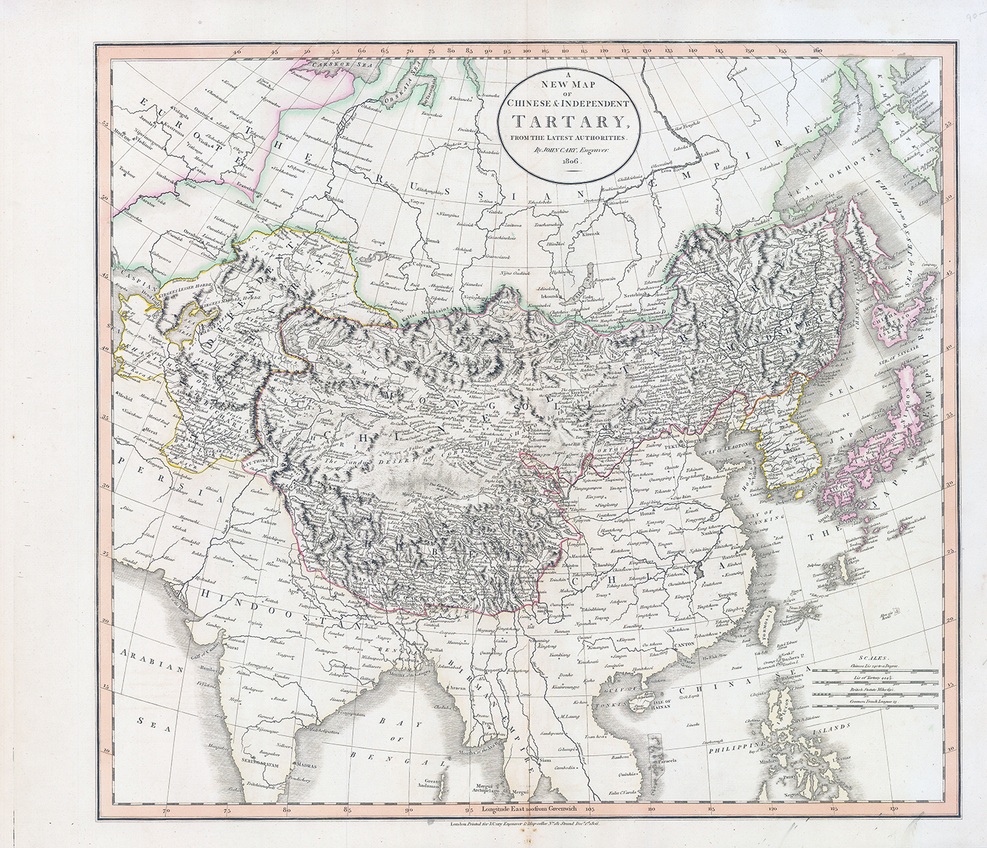
1806 - "A NEW MAP OF CHINESE & INDEPENDENT TARTARY FROM THE LATEST AUTHORITIES BY JOHN CARY, Engraver 1806".
A fine original antique map of Chinese and Independent Tartary. Covers Central Asia from the Caspian Sea to Japan, extends as far north of the Obskaia sea and as far south as India, Burma and the Philippines. Includes the modern day nations of Tibet, Uzbekistan, Kazakhstan, Turkmenistan, Kirgizstan, Tajikistan and Mongolia. One of Cary's most interesting maps. Central Asia, despite hundreds of years of passing trade on the Silk Route passages, especially to the north of the Gobi, but ultimately admits, 'The Geography of these parts is extremely obscure.' All in all, one of the most interesting and few maps of Central Asia to appear in first years of 19th Century. Prepared in 1806 by John Cary for issue in his "NEW UNIVERSAL ATLAS".
Size approximately 59cm x 50cm.
Condition is excellent with central fold as issued.
£125.00