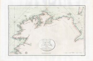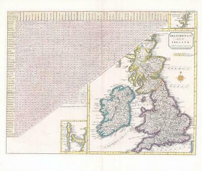
1805 - A large original engraved map titled: " GREAT BRITAIN and IRELAND with je Judges Circuits "
A fine map engraved by John Cary and published by John Stockdale. The map shows the 'Distances of the Cities & Shire Towns in England and Wales' as an aide for Judges travelling the country's Courthouse. With an inset map of the Shetland Islands and the Hebrides.
Generally excellent condition.
Overall size approximately 51cm x 44cm including margins.
Blank on verso. Central fold as issued.
£135.00