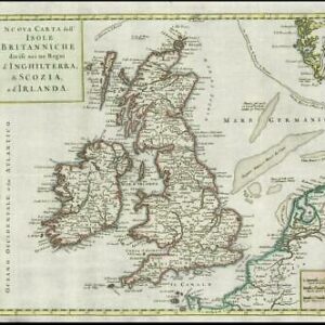
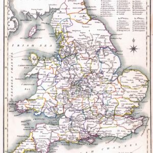
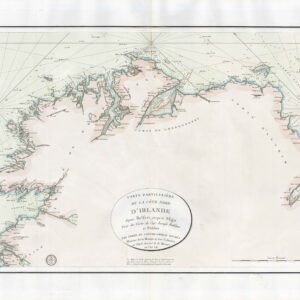
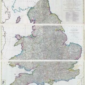
1803 - A large original engraved map titled: " CARTE DES ISLES BRITANNNIQUES et des Cotes qui les Avoisinent Servant a l'intelligence de l'Histoire des Descentes "
A fine original engraved map with original hand colour originally published by Geography Repository (Paris), with cartography by Pierre-Gilles Chanlaire and text by Paul-Thomas Bartholome.
Excellent condition with central folds as issued.
Size approximately 47cm x 59cm.
£120.00