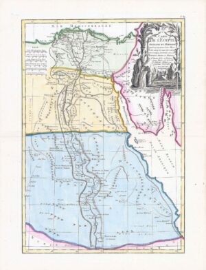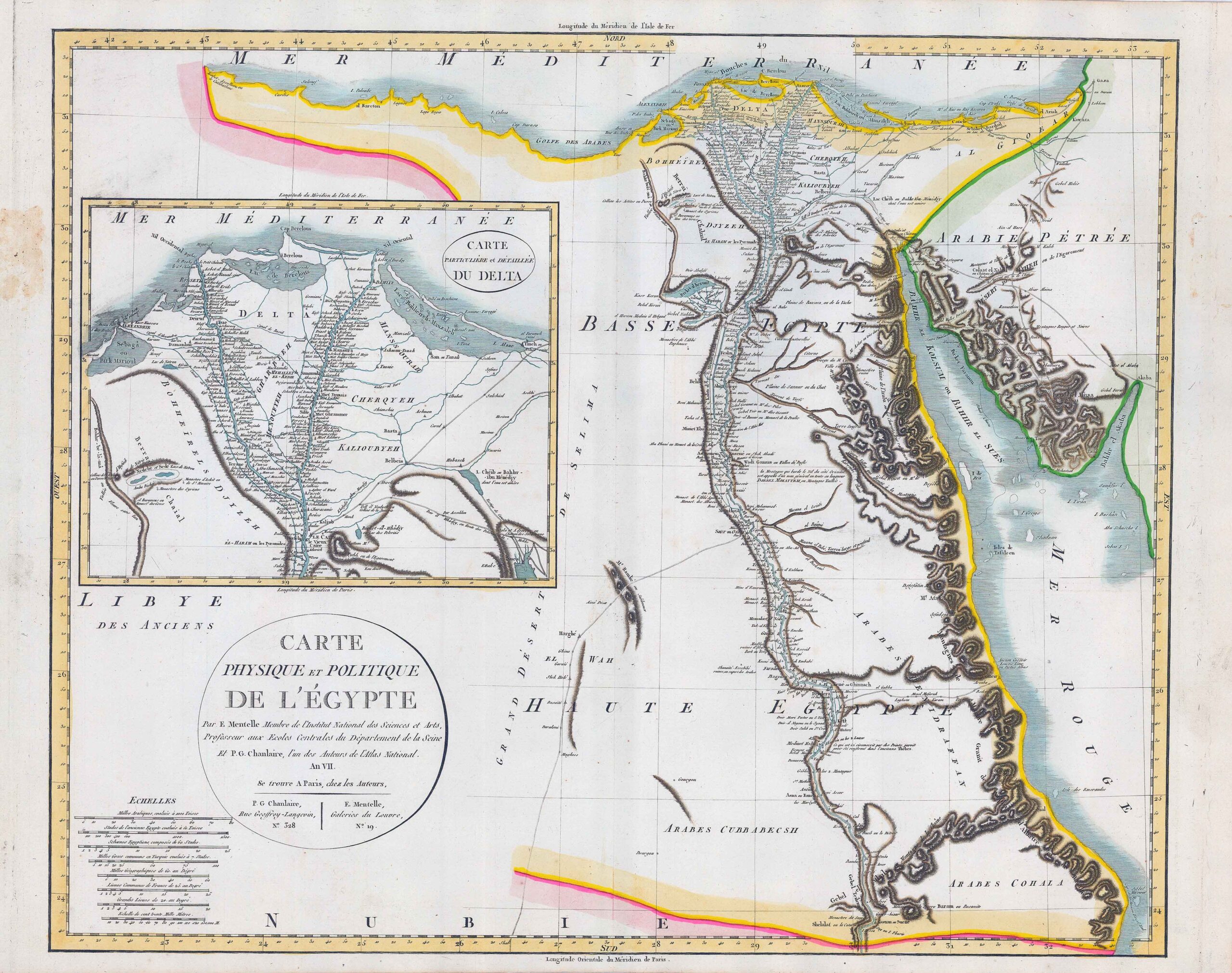
1796 - "CARTE PHYSIQUE ET POLITIQUE DE L'EGYPTE Par E Mentelle Membre de l'Institut national des Sciences et arts, Professeur aux Ecoles centrales du Departement de la Seine - et P G Chanlaire, l'un des Auteurs de l'Atlas National" - "CARTE PARTICULIERE ET DETAILLEE DU DELTA".
A fine and difficult map to find. The map shows Egypt with the course of the Nile from Aswan to the mouth, part of the Red Sea and the Sinai Peninsula. With a partial map of the Nile Delta. By P G Chanlaire & F Mentelle.
Size approximately 63.5cm x 50cm including margins.
Condition is excellent with central fold as issued.
£198.00