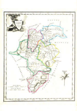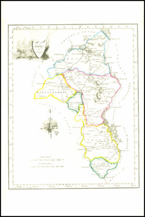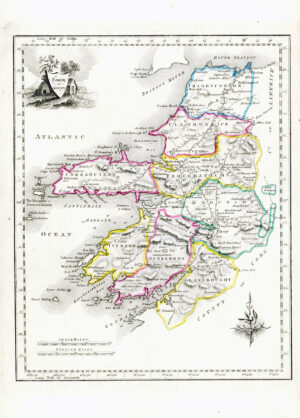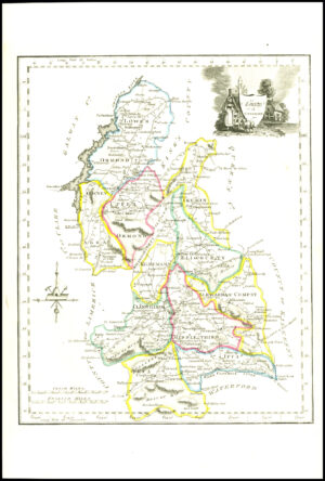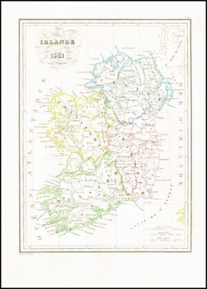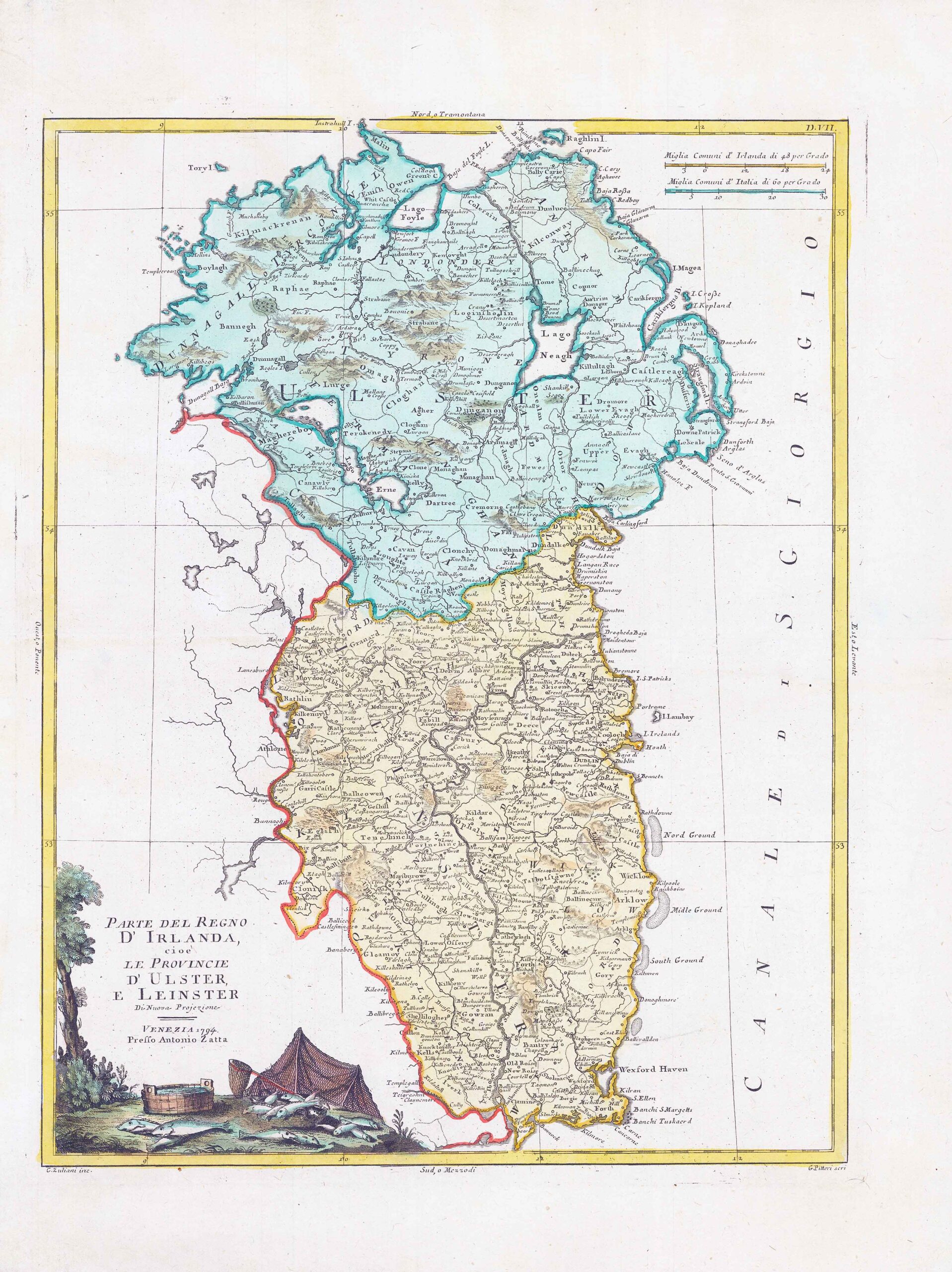
1794 - "PARTE DEL REGNO D'IRLANDA cioe LE PROVINCIE D'ULSTER, E LEINSTER - VENEZIA 1794 Presso Antonio Zatta".
A fine map of Eastern Ireland covering the counties of Ulster and Leinster by Antonio Zatta.
Antonio Zatta fl. 1775-1797 - A Venitian cartographer who completed his best known publication Atlante Novissimo by 1785, this comprised of 218 maps including provincial maps of Europe and although he never produced an atlas of British county maps it did include Essex, Kent, Middlesex and Surrey as well as regions of Ireland and Scotland. He also produced decorative maps after Captain Cook (Austrailia and New Zealand) and a twelve sheet sectional version of Mitchell's large-scale map of the USA, 1755. A characteristic of Zatta's maps are the decorative title cartouches. Also produced Nuovo atlante in 1799. Other cartographers work which he interpreted include Robert de Vaugondy and Bellin.
Size 38cm x 50cm including margins.
Condition generally fine with central fold as issued and later hand colour.
£137.50