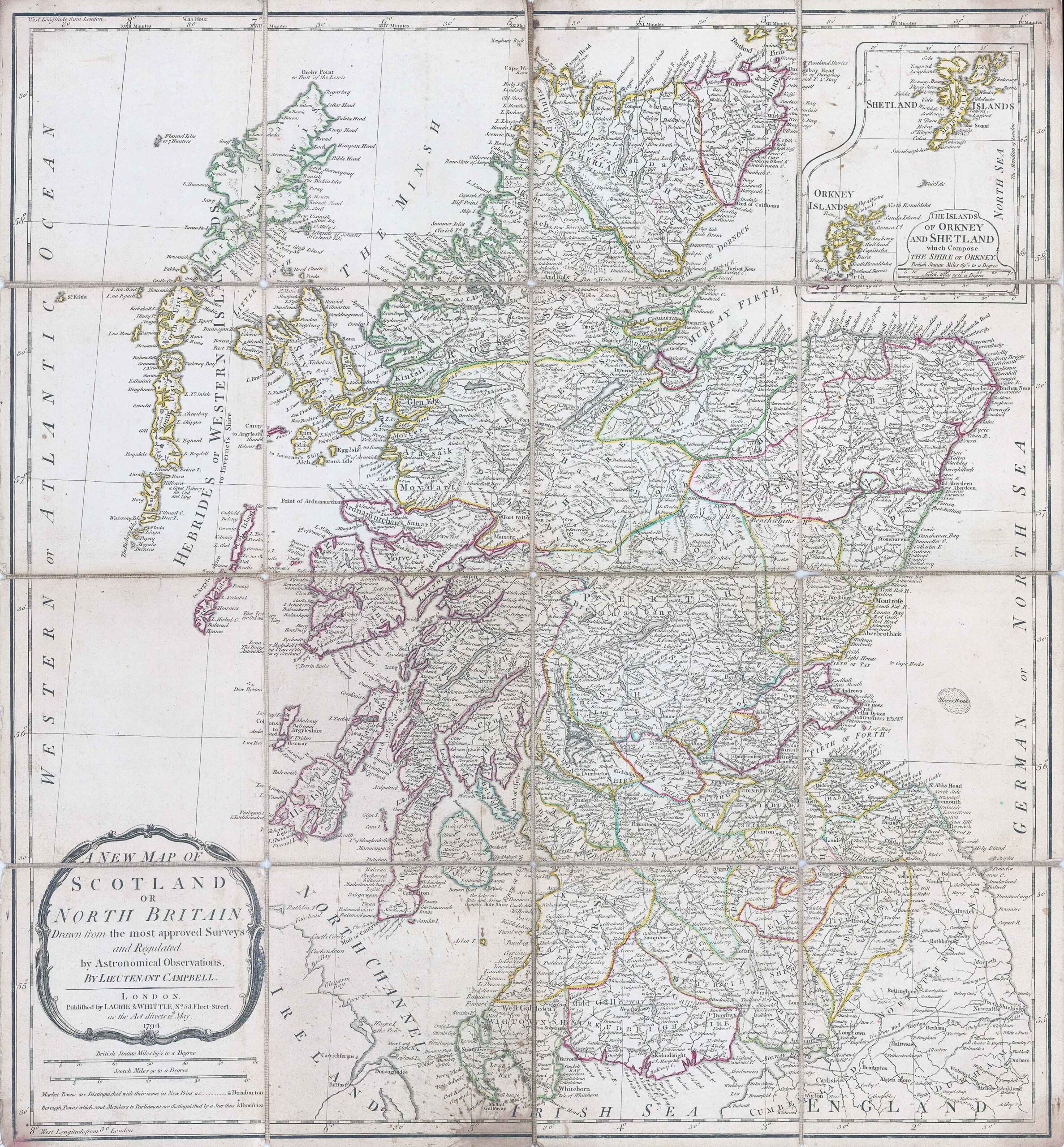
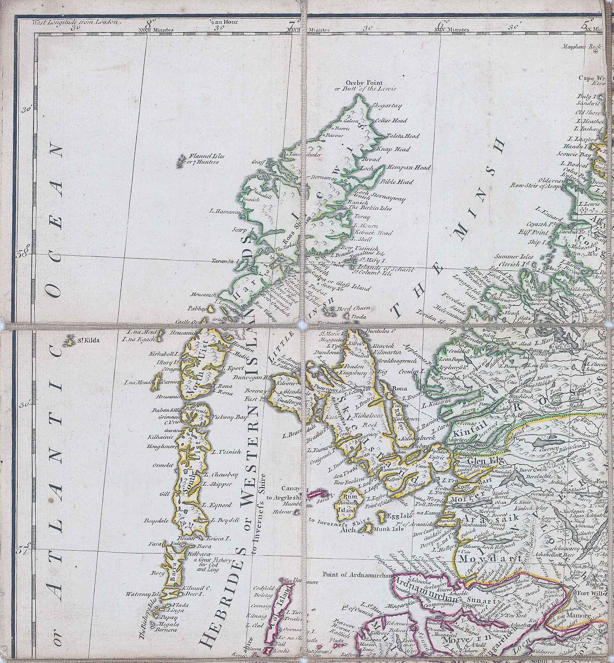
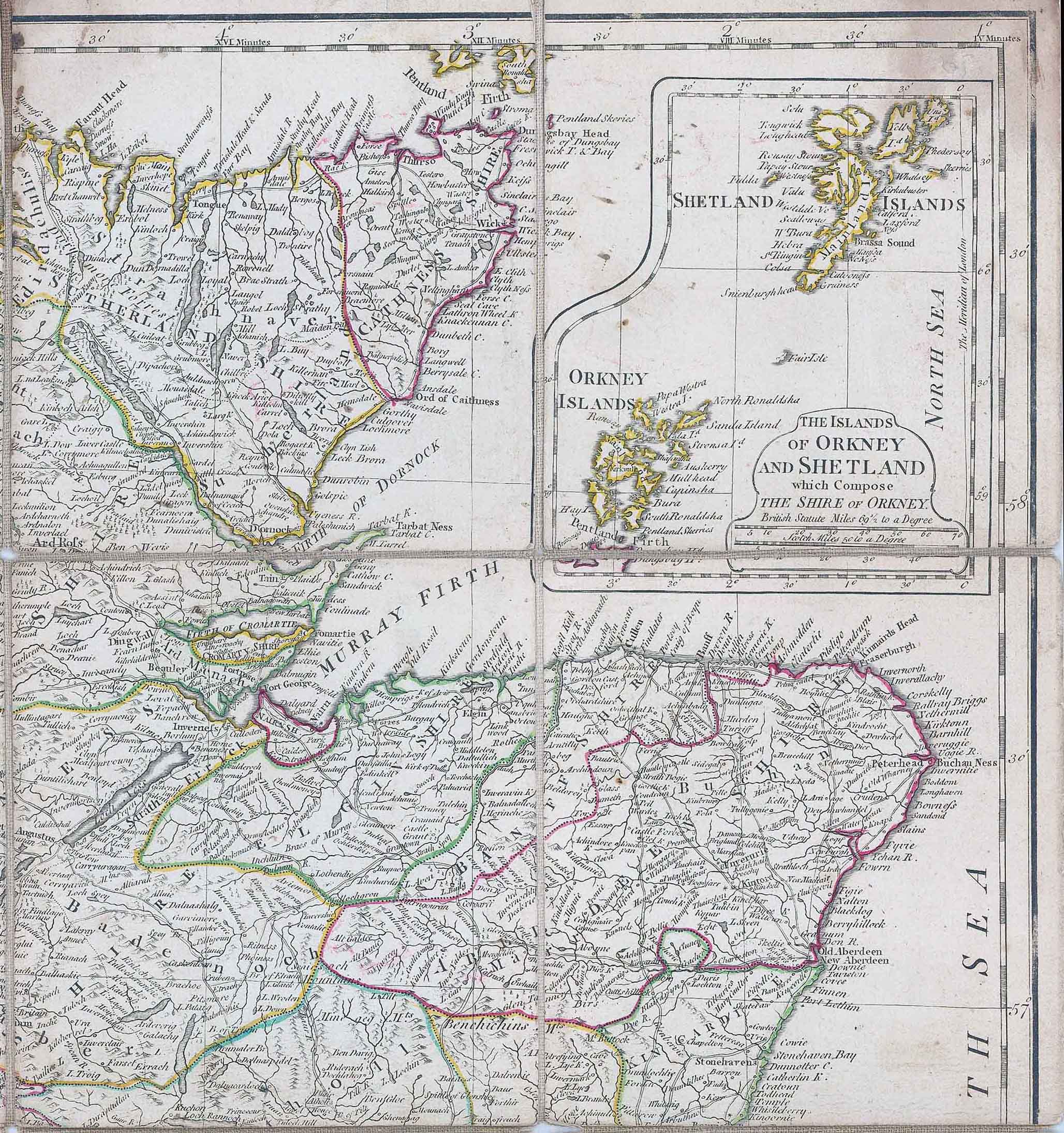
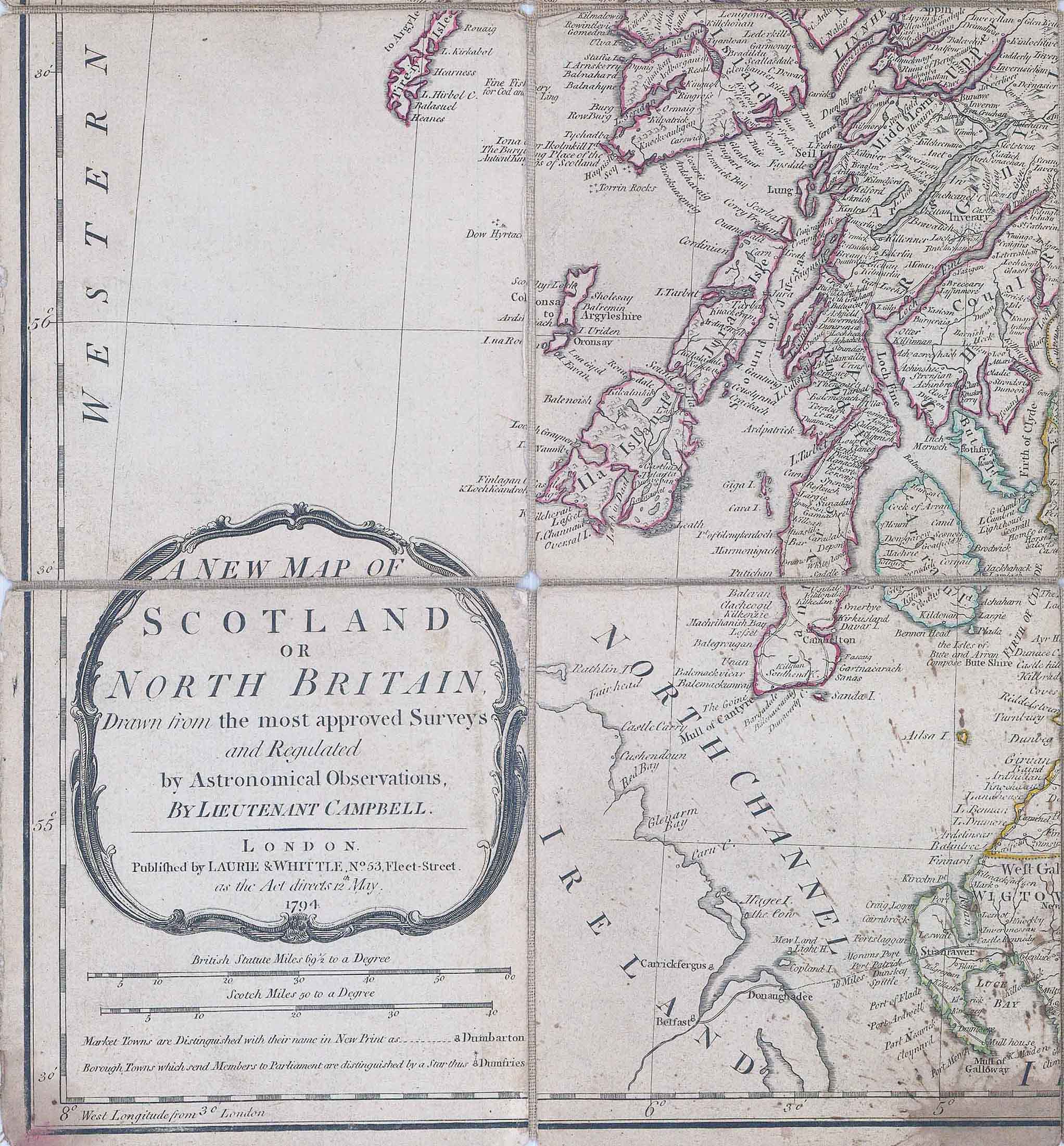
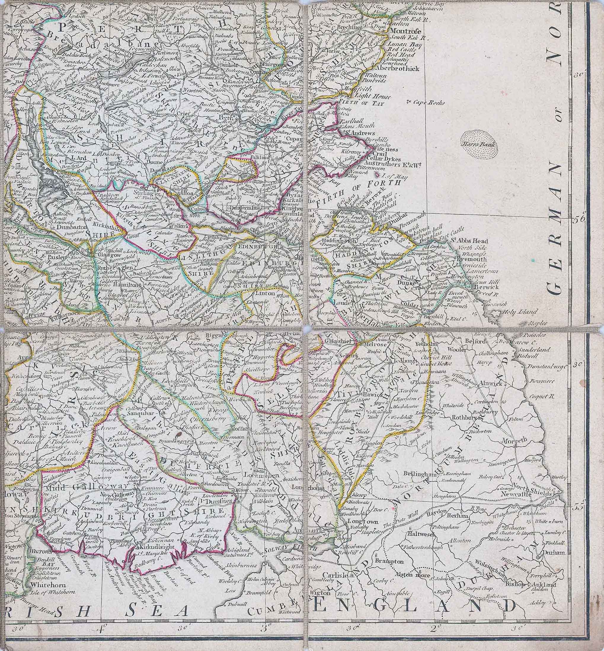
1794 - "A NEW MAP OF SCOTLAND OR NORTH BRITAIN Drawn from the most approved surveys and Regulated by LIEUTENANT CAMPBELL - LONDON Published by Laurie & Whittle, No 53 Fleet Street as the Act Directs 12th May 1794".
A fine example of the scarce map, dissected into 16 sections & laid to linen. Inset map of THE ISLANDS OF ORKNEY AND SHETLAND in the top right and a Scale of Miles in the bottom left.
Robert Laurie (ca. 1755-1836) and James Whittle (1757-1818) formed their Fleet Street, London-based firm upon the 1794 death of their employer Robert Sayer, himself one of the dominant print and mapmakers of the last half of the 18th century. Laurie & Whittle started managing Sayer's business as early as 1787. They took over all managerial duties when Sayer's health flagged in 1792, and they changed the imprint in 1794 upon his death. Sayer left the two a 21-year lease on the shop (at £100 a year) and on Sayer's Bolt Court premises, as well as an option to acquire stock and equipment at a preferential price of £5,000 payable over three years. Robert Laurie retired from the firm in 1812, and his role was assumed by his son, Richard Holmes Laurie (1777-1858). The younger Laurie worked with James Whittle until the latter died in 1818. After R. H. Laurie died in 1858, Alexander George Findlay, FRGS (1812-1875) purchased the firm from his daughters. The firm continues today under another name, specializing in yachting charts. Laurie & Whittle were prolific print and map publishers, and throughout their careers, they produced numerous very important and rare works. They carried on Robert Sayer's atlas business and were responsible for editions of The Complete East-India Pilot and The American Atlas.
Overall size approximately 52cm x 58cm.
Condition is good with some of the linen split in the corner folds.
There are a few age stains (bottom central fold & a few other minor spots) Original outline hand colour.
£380.00