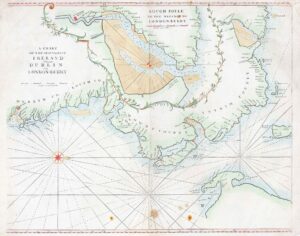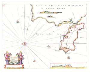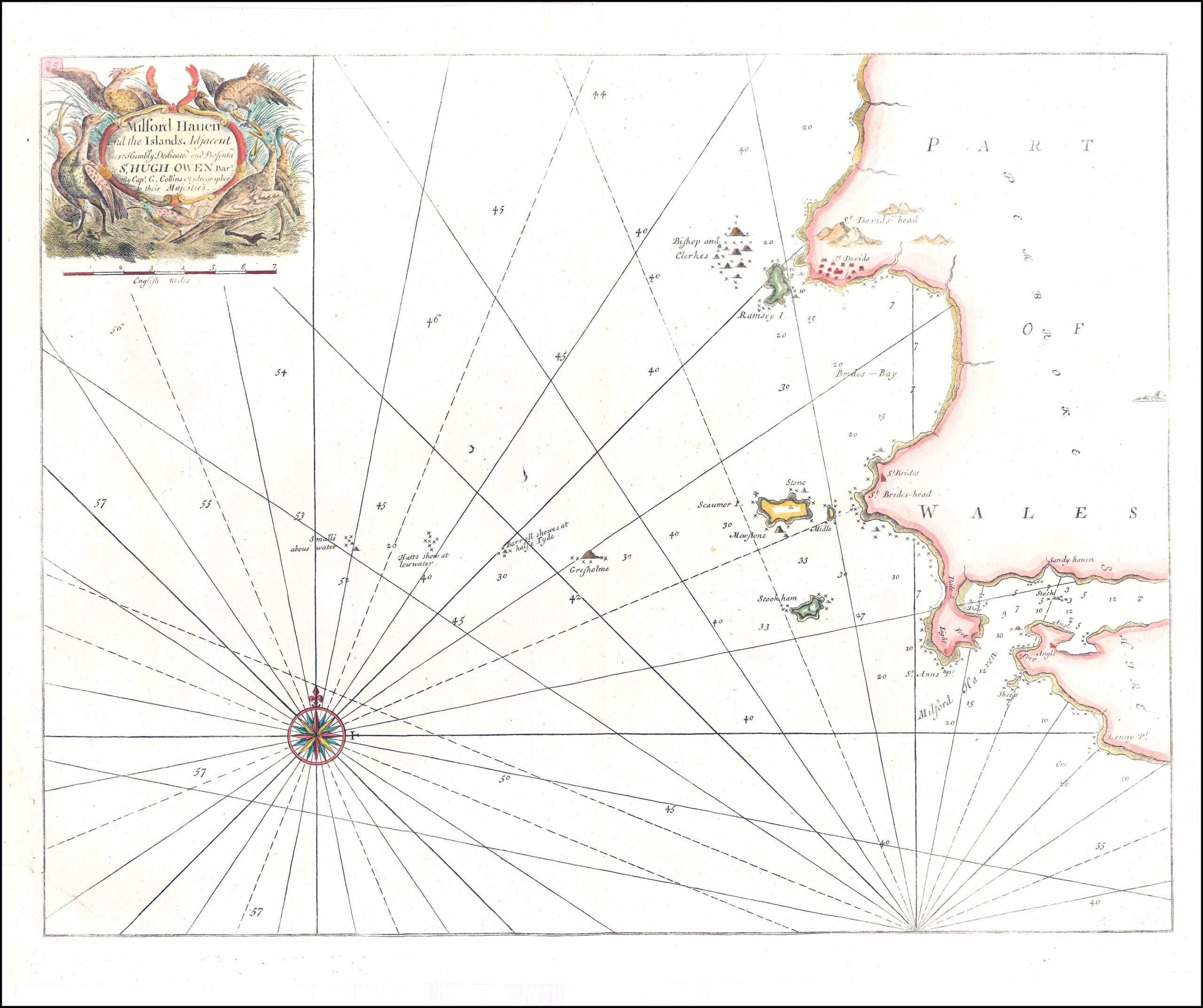
1790 Large original copper engraved antique map titled
"Milford Haven and the Islands adjacent most Humbly Dedicated and presented Sr Hugh Own by Capt G Collins Hydrographer to their Majesties"
A fine example of this large engraved Sea Chart map showing Welsh Coast line from up from Milford Haven, St Annes Head, Stokholm, Skomer, Ramsey Island & St Davids. Compass Rose and decorative cartouche
This map was created by the maritime Cartographer, Captain Greenvile Collins. Collins was an officer of the Royal Navy and prominent hydrographer who was commissioned by King Charles II in 1676 and appointed by Samuel Pepys (then secretary to the Admiralty) to chart the Coasts of Great Britain and the result was his 'Great Britains Coasting Pilot'.
This map is in excellent condition with central fold as issued. Overall size approx 62cm x 50cm.
£125.00