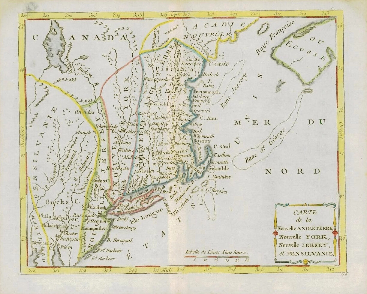
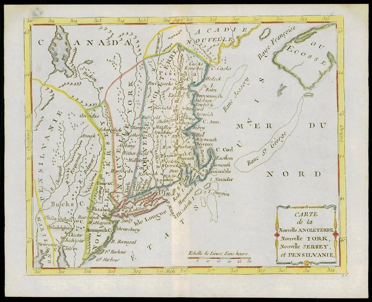
1787 - A fine and rare original antique map titled: ' CARTE de la Nouvelle ANGLETERRE, Nouvelle YORK, Nouvelle JERSEY et PENSILVANIE '
Highly detailed regional map of the Northern British Colonies, featuring numerous place names, forts, Native American tribes, rivers, coastal banks, and other details.
Bucks County features prominently north of Philadelphia. Bucks County is one of the three original counties created by colonial proprietor William Penn in 1682. Penn named the county after Buckinghamshire, the county where he lived in England. He built a country estate called Pennsbury Manor in Falls Township, Bucks County.
Published for "Atlas ou Collection de cartes Geographiques pour l'intelligence du voyageur francois" published by Joseph de Laporte.
Overall size of the map is 25cm x 20cm with large margins and central fold as issued.
CARTOGRAPHER: Louis Brion de la Tour (1743-1803) was the Cartographer Royal to the king of France. His official title was "King's Engineer Geographer. Although he was a prolific geographer, very little is currently known of his life or his career. His life was spent in scientific work. However what is known is an important part of his work was done in collaboration with Louis Charles Desnos (1750-1790 to) a bookseller and geographical engineer for the globes and spheres of His Danish Majesty. His son, Louis Brion de la Tour, a pupil of Jean-Bernard Restout, was engraver of maps and documents of the Revolution and was also an occasional painter of oil painters.
PUBLISHER: Joseph de Laporte (1714 - 1779) was an 18th Century French Priest, literary critic, poet, playwright and prolific author.
£140.00