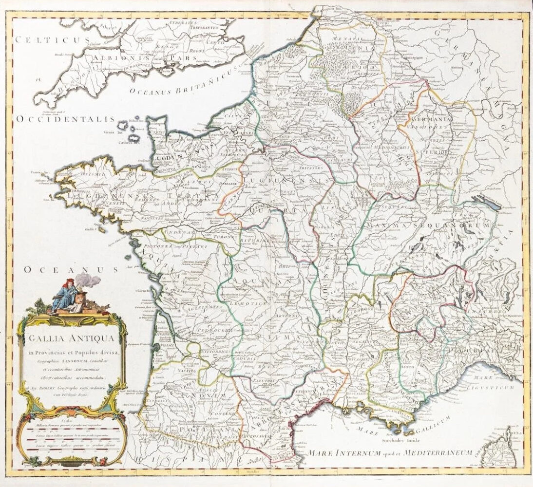
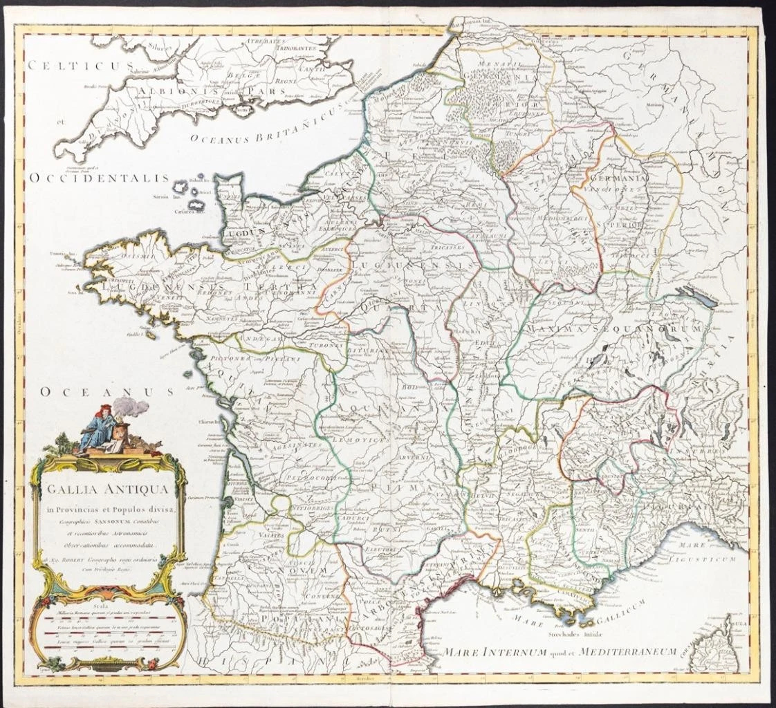
1785 - Large original copper engraved antique map titled: "GALLIA ANTIQUA in Provincias et Populos divisa Geographicis SANSONUM Comatibus..... "
A fine decorative antique map showing ANCIENT FRANCE, divided into provinces. Includes towns, mountains, rivers, lakes and a host of other details including a Scale of Miles. Decorative Cartouche. Robert de Vaugondy's atlas was one of the most successful and enduring works of the 2nd half of the 19th Century.
Gilles Robert de Vaugondy (1688-1766) was the head of a leading family of geographers in eighteenth century France. Gilles got his start when he jointly inherited the shop of Pierre-Moullart Sanson, grandson of the famous geographer Nicholas Sanson. The inheritance included the business, its stock of plates, and a roller press. In 1760 Gilles became geographer to King Louis XV. His son, Didier Robert de Vaugondy (ca. 1723-1786), was also a geographer and the two worked together. They were known for their exactitude and depth of research. In 1757, they produced the Atlas Universel, considered an authority for many years.
Condition: This map is in excellent condition with central fold as issued and hand coloured.
Overall size including margins 56cm x 51cm.
£88.00