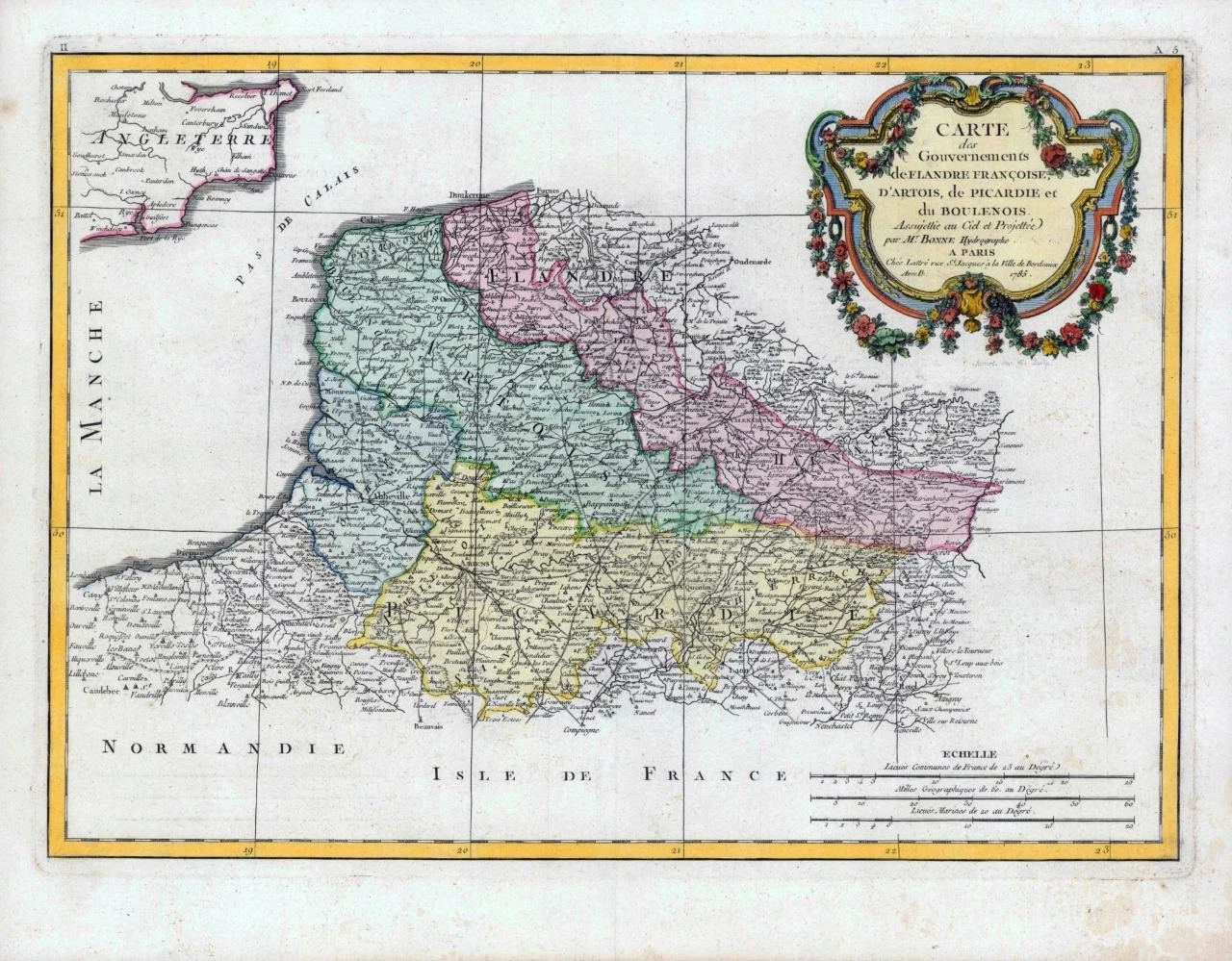
1785 - A fine and rare large original antique map titled: ' Carte des Gouvernements de Flandre Francoise, D'Artois, de Picardie et dy Boulenois '
A highly detailed and decorative large map by Rigobert Bonne of the French regions of Picardy, Artois and French Flanders. Covers the region in full of the English Channel to Normandy.
Overall size of map is 48cm x 35cm with large margins, perfect for mounting and framing.
Excellent overall condition with hand colouring and the centrefold as issued. Blank on verso.
£100.00