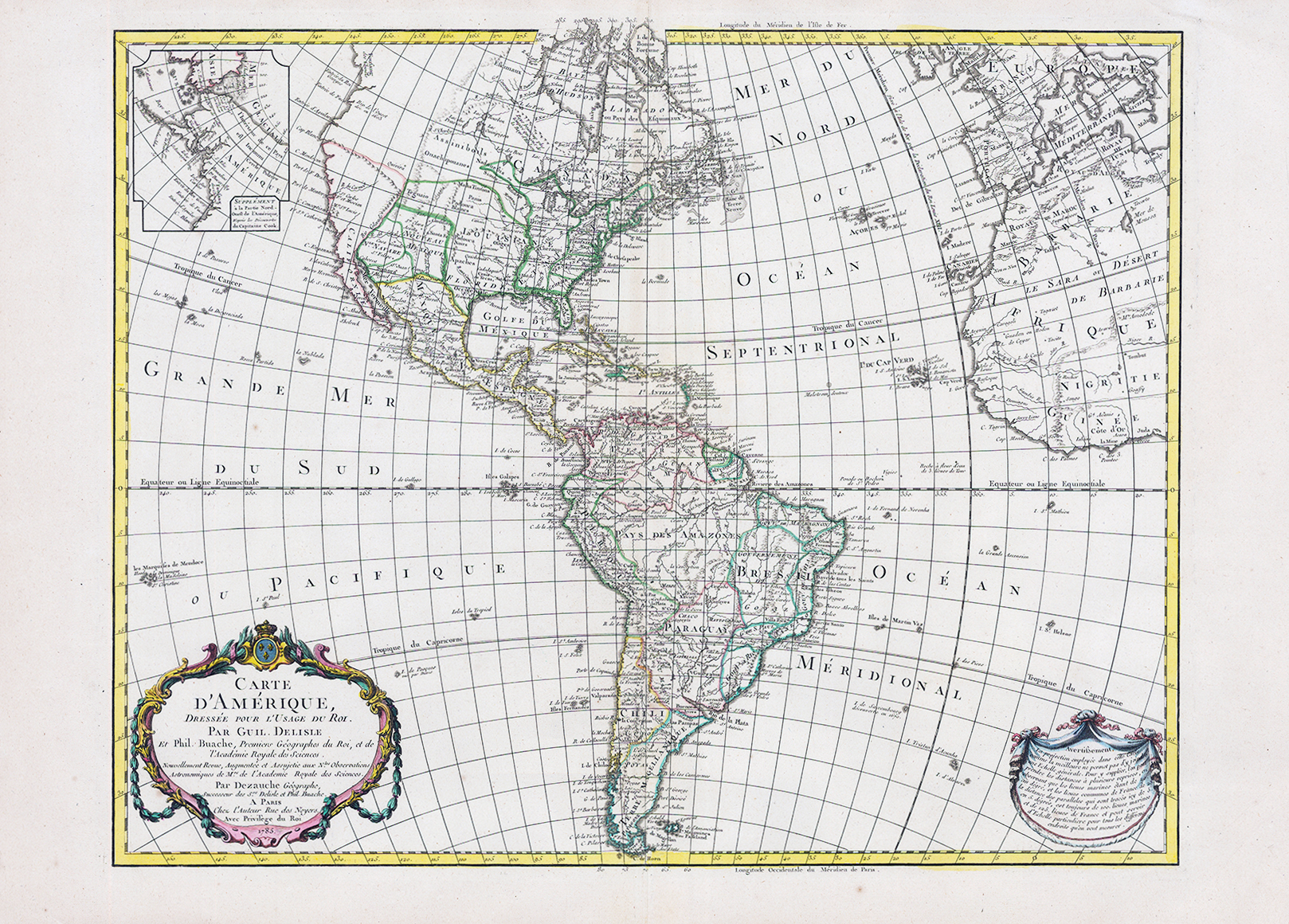
1785 " CARTE D'AMERIQUE Dressee Popur L'Usage du Roi. Par Guil. Delisle...... "
This is a later, updated edition of the important map that was first issued by Delisle in 1722. It was one of the most popular maps of the 18th Century. The new United States is noted extending to the Mississippi River, but the individual state boundaries are still shown on the Appalachian Mountains. Updates include the completion of the western coast above California and changes to the interior topography including a number of spurious mountains ranges in the west, going east to west and north to south, and sometimes doing both within the same range. This edition has an inset of Cook's explorations in the Pacific Northwest, but without the related key from the previous edition. The river systems in South America have been updated. The map was published in 1789 and still has the royal seal and crown on the top of the cartouche, which was removed after the establishment of the French Republic in 1792.
Overall size 77cm x 55cm. Excellent condition with early hand colour. Central fold as issued.
The de L'Isle family was one of the most influential Geographers of the early 18th century in France. Claude de L'Isle, born 1644, had four sons, of which Guillaume was the most notable. Guillaume was born 1675 and became member of the 'Academie Royale des Sciences' with the age of twenty-seven and was honoured later with the title 'Premier Geographe du Roi'. His largest project, the 'Atlas de Geographie', was published until 1774 in Paris and Amsterdam (Covens and Mortier). He died in 1726.
Overall size 77cm x 55cm. Excellent condition with early hand colour. Central fold as issued
£450.00