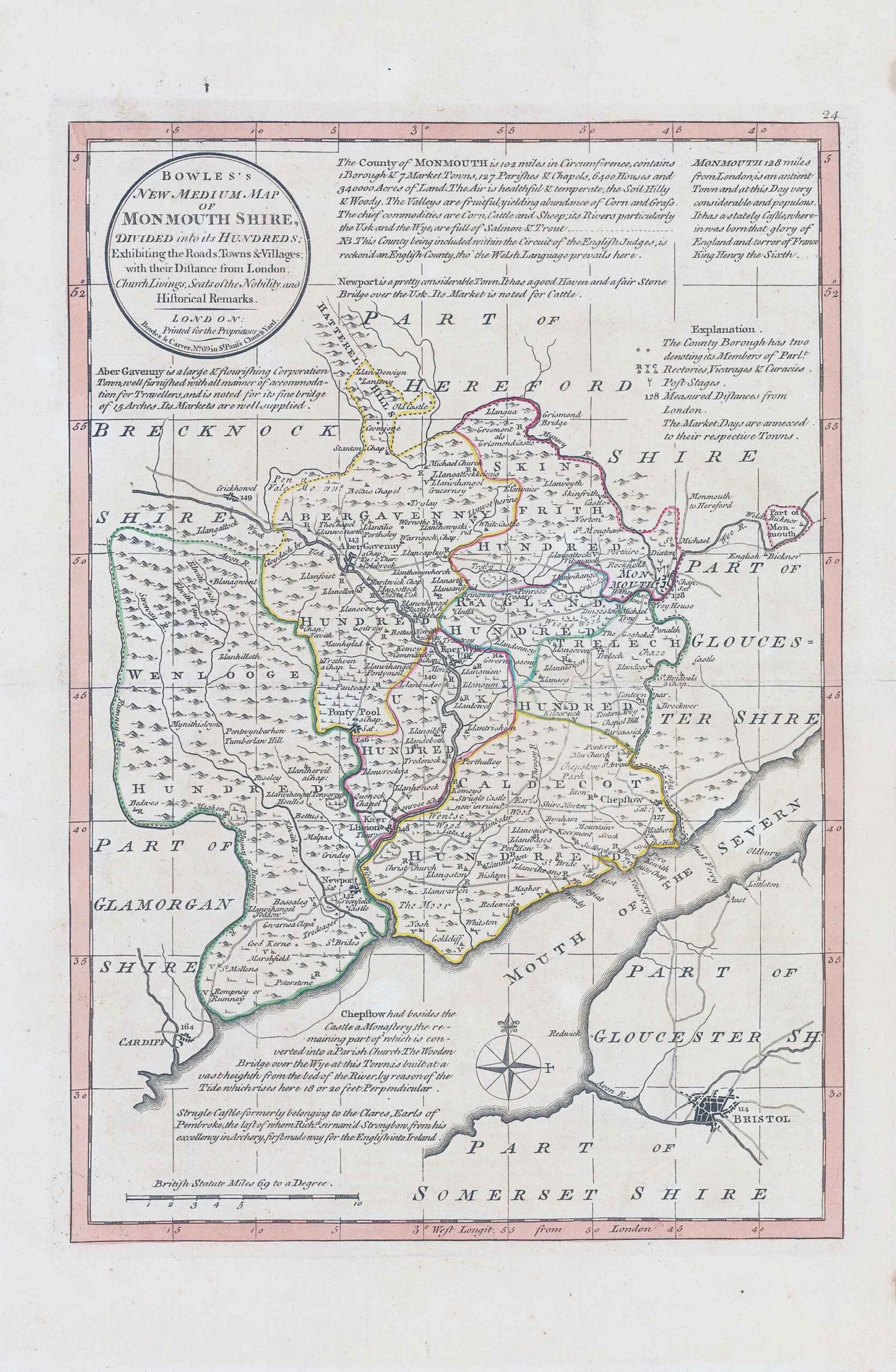
1785 - "BOWLES'S NEW MEDIUM MAP OF MONMOUTHSHIRE DIVIDED into its HUNDREDS" by Carrington Bowles. Carington Bowles worked as a publisher in partnership with his father John Bowles from about 1752 until 1763 before taking over his uncle's business. His address was 69 St. Pauls Church Yard, London. He worked with a number of well known cartographers of the day including Emanuel Bowen, Thomas Kitchin, Robert Sayer and John Ellis. He republished the maps from Emanuel and Thomas Bowen's Atlas Anglicanus under the name of Bowles' New Medium English Atlas in 1785. He was succeeded by his son Henry.
Size approximately 26cm x 39cm with central fold as issued.
Original outline hand colour.
£49.50