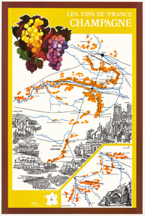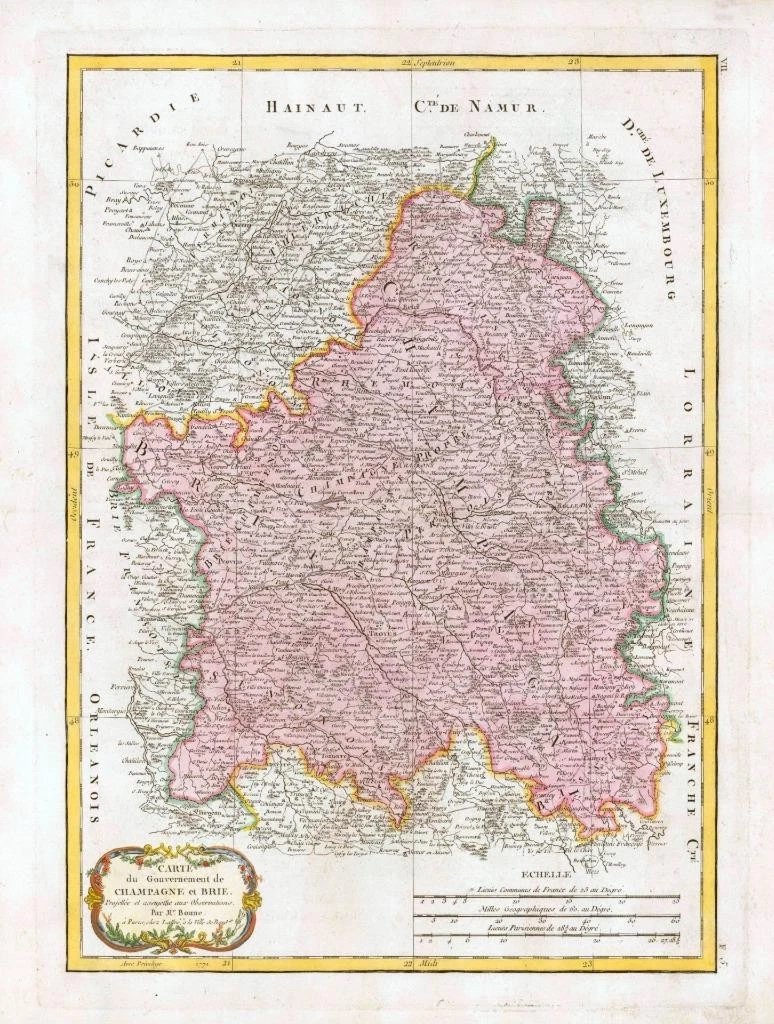
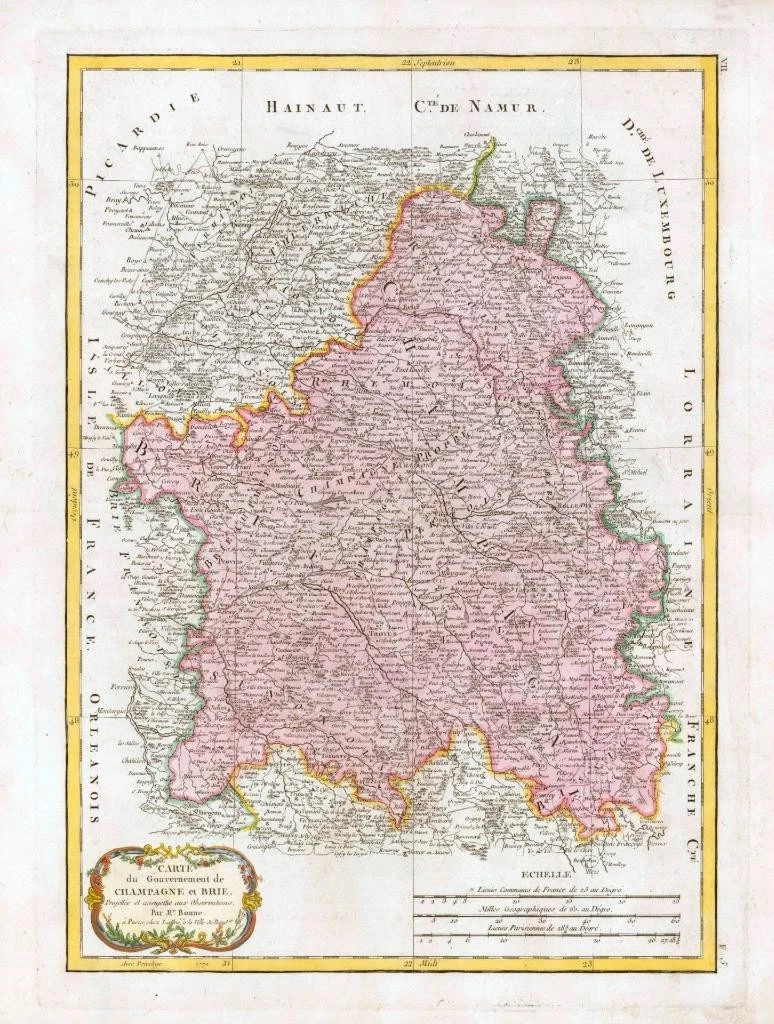
1782 - A fine original antique map titled: ' Carte des Gouvernements de Champagne et Brie '
A highly detailed and decorative large map by Rigobert Bonne of the French regions of Champagne and Brie. The map depicts the departments of Champagne and Brie from Picardie to Franche Compte and from Ile-de-France to the Duchy of Luxembourg. Historically the province of Champagne was bounded on the north by the bishopric of Liege and by Luxembourg, on the east by Lorraine, on the south by Burgendy and on the west by Ile-de-France and by Picardy.
Overall size of map is 48cm x 35cm with large margins, perfect for mounting and framing.
Excellent overall condition with hand colouring and the centrefold as issued. Blank on verso.
£110.00